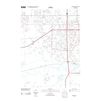
2013 Map of Commerce
USGS Topo · Published 2013About this map
Raccoon River and the large Dale Maffit Reservoir anchor the southern portion of this landscape, illustrating the critical water infrastructure and drainage systems serving the Des Moines metropolitan fringe. The map documents the suburban transition of West Des Moines, where legacy settlements like Commerce and Ashawa are increasingly surrounded by the grid of modern arterial roads such as Mills Civic Pkwy and Ashworth Rd.
Find a feature on this map
25 named features on this map. Tap any name to fly to it.
Don’t see what you’re looking for? This feature index may not catch every label — zoom into the map to look around manually.
Map Details
Editions of this 2013 Commerce Map
This is the sole edition of this map. No revisions or reprints were ever made.
Other maps of this area

1905 · Des Moines
USGS Topo · 1:62,500

1907 · Des Moines
USGS Topo · 1:62,500

1908 · Waukee
USGS Topo · 1:62,500

1931 · Indianola
USGS Topo · 1:62,500

1951 · St. Charles
USGS Topo · 1:62,500

1954 · Des Moines
USGS Topo · 1:250,000

1956 · Des Moines
USGS Topo · 1:250,000

1956 · Des Moines NW
USGS Topo · 1:24,000

1956 · Des Moines SW
USGS Topo · 1:24,000

1956 · Des Moines
USGS Topo · 1:62,500