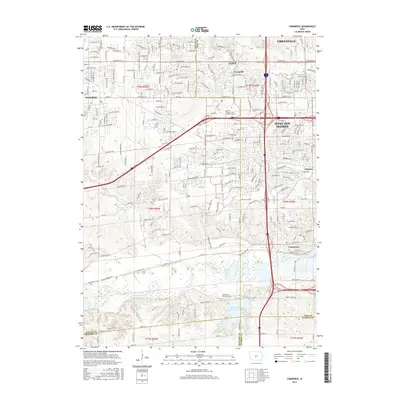
2015 Map of Commerce
USGS Topo · Published 2015About this map
Commerce and Ashawa sit at the center of this suburbanizing landscape west of Des Moines, where the convergence of several county lines highlights the area's jurisdictional complexity. The Raccoon River winds through the southern portion of the map, feeding into the significant Dale Maffit Reservoir, which is flanked by the Dale Maffit Reservoir Cem. The transition from the dense residential grids of West Des Moines and Urbandale to the more open spaces near Sugar Creek Lake reveals the modern growth patterns of the Des Moines metro area. Notable local institutions like the Univ of Phoenix - Des Moines Campus and the Lake Sylvan Country Club are situated among a primary network of transit corridors including Hickman Rd and University Ave.
Find a feature on this map
44 named features on this map. Tap any name to fly to it.
Don’t see what you’re looking for? This feature index may not catch every label — zoom into the map to look around manually.
Map Details
Editions of this 2015 Commerce Map
This is the sole edition of this map. No revisions or reprints were ever made.
Other maps of this area

1905 · Des Moines
USGS Topo · 1:62,500

1907 · Des Moines
USGS Topo · 1:62,500

1908 · Waukee
USGS Topo · 1:62,500

1931 · Indianola
USGS Topo · 1:62,500

1951 · St. Charles
USGS Topo · 1:62,500

1954 · Des Moines
USGS Topo · 1:250,000

1956 · Des Moines
USGS Topo · 1:250,000

1956 · Des Moines NW
USGS Topo · 1:24,000

1956 · Des Moines SW
USGS Topo · 1:24,000

1956 · Des Moines
USGS Topo · 1:62,500