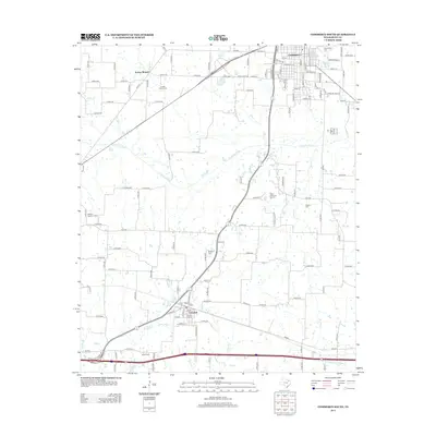
2013 Map of Commerce South
USGS Topo · Published 2013About this map
The Texas A & M University-Commerce campus occupies the northern edge of this Hunt County landscape, where the southern reaches of Commerce meet a rural network of farm-to-market roads and creeks. The terrain is defined by the winding course of the S Sulphur River and its tributaries, including Dunbar Cr and Timbers Cr, which drain the open fields south toward the town of Campbell.
Find a feature on this map
129 named features on this map. Tap any name to fly to it.
Don’t see what you’re looking for? This feature index may not catch every label — zoom into the map to look around manually.
Map Details
Editions of this 2013 Commerce South Map
This is the sole edition of this map. No revisions or reprints were ever made.
Other maps of this area

1953 · Texarkana
USGS Topo · 1:250,000

1954 · Sherman
USGS Topo · 1:250,000
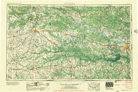
1956 · Texarkana
USGS Topo · 1:250,000

1958 · Sherman
USGS Topo · 1:250,000
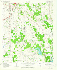
1962 · Greenville SE
USGS Topo · 1:24,000
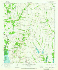
1962 · Lone Oak North
USGS Topo · 1:24,000
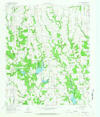
1962 · Miller Grove
USGS Topo · 1:24,000
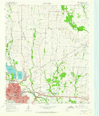
1963 · Greenville NE
USGS Topo · 1:24,000
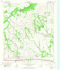
1964 · Cumby
USGS Topo · 1:24,000
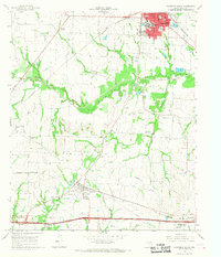
1964 · Commerce South
USGS Topo · 1:24,000