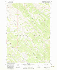
1966 Map of Commissary Ridge
USGS Topo · Published 1983About this map
Caribou National Forest encompasses the high terrain of eastern Idaho in this mid-1960s survey, defined by a series of prominent northwest-trending ridges. The landscape is structured around the massive Commissary Ridge and Fourth of July Ridge, which together form the backbone of the local drainage system. Numerous water sources like Willow Springs and creeks such as Fall Creek and Bear Creek cut through the topography, feeding into the wider Basin.
Find a feature on this map
36 named features on this map. Tap any name to fly to it.
Don’t see what you’re looking for? This feature index may not catch every label — zoom into the map to look around manually.
Map Details
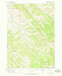
Editions of this 1966 Commissary Ridge Map
2 editions found
Other maps of this area

1917 · Cranes Flat
USGS Topo · 1:62,500

1924 · Hell Creek
USGS Topo · 1:62,500

1926 · Hell Creek
USGS Topo · 1:62,500

1932 · Irwin
USGS Topo · 1:96,000

1935 · Irwin
USGS Topo · 1:125,000

1955 · Driggs
USGS Topo · 1:250,000

1958 · Driggs
USGS Topo · 1:250,000

1962 · Driggs
USGS Topo · 1:250,000

1966 · Big Elk Mtn
USGS Topo · 1:24,000

1966 · Conant Valley
USGS Topo · 1:24,000