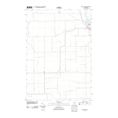
2010 Map of Como Creek
USGS Topo · Published 2010About this map
Lake Como and the northwestern corner of Bloomer anchor the northeast corner of this 2010 survey, where the landscape transitions into a sprawling agricultural grid defined by numerous tributary streams. The area is characterized by a dense network of county highways and local roads, such as County Hwy-Q and County Hwy-B, which follow the section lines across the countryside. For genealogists and local historians, the presence of the Auburn Cemetery in the north and the Cooks Valley Cemetery near Dry Rock Rd provides critical points for family research in this rural Wisconsin township. The drainage pattern is complex, with Como Creek winding through the center, while Hay Creek and Eighteenmile Creek drain the southern reaches, illustrating the natural watercourses that shaped early farm boundaries.
Find a feature on this map
43 named features on this map. Tap any name to fly to it.
Don’t see what you’re looking for? This feature index may not catch every label — zoom into the map to look around manually.
Map Details
Editions of this 2010 Como Creek Map
This is the sole edition of this map. No revisions or reprints were ever made.
Other maps of this area

1934 · Elk Mound
USGS Topo · 1:62,500

1934 · Chippewa Falls
USGS Topo · 1:62,500

1936 · Chippewa Falls
USGS Topo · 1:62,500

1936 · Elk Mound
USGS Topo · 1:62,500

1949 · Bloomer
USGS Topo · 1:62,500

1949 · New Auburn
USGS Topo · 1:62,500

1951 · Bloomer
USGS Topo · 1:62,500

1951 · New Auburn
USGS Topo · 1:62,500

1953 · Eau Claire
USGS Topo · 1:250,000

1953 · Rice Lake
USGS Topo · 1:250,000