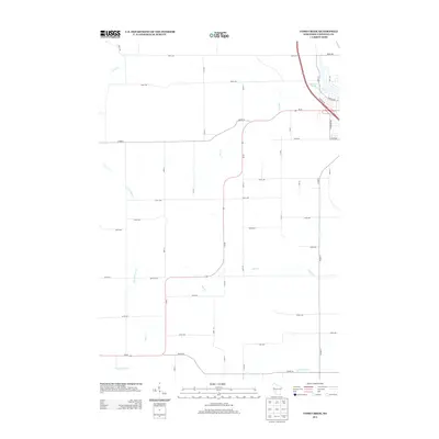
2013 Map of Como Creek
USGS Topo · Published 2013About this map
Lake Como and its surrounding watershed define this pocket of Chippewa County, where a network of tributary streams flows through the rural landscape. The drainage system is particularly well-mapped, including Como Cr, Eighteenmile Cr, and the S Fork Trout Cr. These waterways are the primary landmarks in an area dominated by an orderly grid of section roads and larger thoroughfares like Wi-40 and Co HWY-A.
Find a feature on this map
41 named features on this map. Tap any name to fly to it.
Don’t see what you’re looking for? This feature index may not catch every label — zoom into the map to look around manually.
Map Details
Editions of this 2013 Como Creek Map
This is the sole edition of this map. No revisions or reprints were ever made.
Other maps of this area

1934 · Elk Mound
USGS Topo · 1:62,500

1934 · Chippewa Falls
USGS Topo · 1:62,500

1936 · Chippewa Falls
USGS Topo · 1:62,500

1936 · Elk Mound
USGS Topo · 1:62,500

1949 · Bloomer
USGS Topo · 1:62,500

1949 · New Auburn
USGS Topo · 1:62,500

1951 · Bloomer
USGS Topo · 1:62,500

1951 · New Auburn
USGS Topo · 1:62,500

1953 · Eau Claire
USGS Topo · 1:250,000

1953 · Rice Lake
USGS Topo · 1:250,000