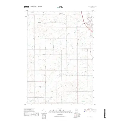
2018 Map of Como Creek
USGS Topo · Published 2018About this map
The northwestern corner of Bloomer marks the urban transition of this Wisconsin landscape, where industrial development along N Industrial Dr meets the agricultural hinterland. The terrain is defined by a dense network of watercourses, most notably Eighteenmile Cr and Hay Cr, which carve through the tillable acreage of Chippewa County. This area maintains its rural character through established section roads like Co Hwy DD and Centerview Rd, connecting dispersed farmsteads and local landmarks.
Find a feature on this map
52 named features on this map. Tap any name to fly to it.
Don’t see what you’re looking for? This feature index may not catch every label — zoom into the map to look around manually.
Map Details
Editions of this 2018 Como Creek Map
This is the sole edition of this map. No revisions or reprints were ever made.
Other maps of this area

1934 · Elk Mound
USGS Topo · 1:62,500

1934 · Chippewa Falls
USGS Topo · 1:62,500

1936 · Chippewa Falls
USGS Topo · 1:62,500

1936 · Elk Mound
USGS Topo · 1:62,500

1949 · Bloomer
USGS Topo · 1:62,500

1949 · New Auburn
USGS Topo · 1:62,500

1951 · Bloomer
USGS Topo · 1:62,500

1951 · New Auburn
USGS Topo · 1:62,500

1953 · Eau Claire
USGS Topo · 1:250,000

1953 · Rice Lake
USGS Topo · 1:250,000