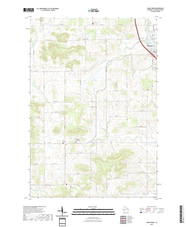
2022 Map of Como Creek
USGS Topo · Published 2022About this map
The city of Bloomer serves as the primary hub in this portion of Chippewa County, positioned where Duncan Creek and Como Creek converge. This 2022 survey illustrates a landscape deeply defined by its drainage patterns, with numerous named waterways such as Eighteenmile Cr, Hay Cr, and the S Fork Trout Cr carving through the agricultural terrain. The map provides significant detail for genealogical research, identifying established burial grounds including Auburn Cem, Cooks Valley Cem, and the Saint John the Baptist Catholic Cem.
Find a feature on this map
64 named features on this map. Tap any name to fly to it.
Don’t see what you’re looking for? This feature index may not catch every label — zoom into the map to look around manually.
Map Details
Editions of this 2022 Como Creek Map
This is the sole edition of this map. No revisions or reprints were ever made.
Other maps of this area

1934 · Elk Mound
USGS Topo · 1:62,500

1934 · Chippewa Falls
USGS Topo · 1:62,500

1936 · Chippewa Falls
USGS Topo · 1:62,500

1936 · Elk Mound
USGS Topo · 1:62,500

1949 · Bloomer
USGS Topo · 1:62,500

1949 · New Auburn
USGS Topo · 1:62,500

1951 · Bloomer
USGS Topo · 1:62,500

1951 · New Auburn
USGS Topo · 1:62,500

1953 · Eau Claire
USGS Topo · 1:250,000

1953 · Rice Lake
USGS Topo · 1:250,000