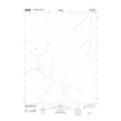
2011 Map of Como
USGS Topo · Published 2011About this map
Como sits at the heart of this high-elevation landscape in Lyon County, Nevada, reflecting a legacy of frontier habitation and mining. The terrain is defined by the significant heights of Rawe Peak and Lyon Peak, where the sparse network of 4WD roads and trails suggests a region shaped by resource extraction and rugged topography. The presence of the Boyle Tunnel and the Como Post Office points to a specialized history of settlement that relied on both subterranean industrial work and early communication networks.
Find a feature on this map
12 named features on this map. Tap any name to fly to it.
Don’t see what you’re looking for? This feature index may not catch every label — zoom into the map to look around manually.
Map Details
Editions of this 2011 Como Map
This is the sole edition of this map. No revisions or reprints were ever made.
Other maps of this area

1891 · Carson
USGS Topo · 1:125,000

1891 · Wabuska
USGS Topo · 1:125,000

1893 · Carson
USGS Topo · 1:125,000

1894 · Wabuska
USGS Topo · 1:125,000

1950 · Virginia City
USGS Topo · 1:62,500

1952 · Virginia City
USGS Topo · 1:62,500

1956 · Dayton
USGS Topo · 1:62,500

1957 · Como
USGS Topo · 1:62,500

1957 · Churchill Butte
USGS Topo · 1:62,500

1957 · Reno
USGS Topo · 1:250,000