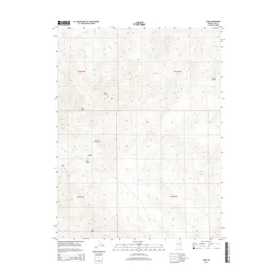
2014 Map of Como
USGS Topo · Published 2014About this map
Pine Nut Mountains dominate this high-desert landscape in the western Great Basin. The high elevations are anchored by Lyon Peak and Rawe Peak, providing a glimpse into the steep, rugged topography of Lyon County. At the heart of the mountains lies the settlement of Como, a site deeply tied to Nevada's mining history. This area's industrial legacy is further evidenced by the Boyle Tunnel and the descent into Mill Canyon, illustrating how miners navigated and exploited these complex geological formations. Water sources are vital in this arid environment, with numerous perennial points including Waitman Spring, Barton Springs, and Cottonwood Spring scattered through the canyons. The map also delineates Mineral Canyon and Bull Canyon, highlighting the natural drainage systems and potential prospecting zones that defined the local economy and settlement patterns.
Find a feature on this map
19 named features on this map. Tap any name to fly to it.
Don’t see what you’re looking for? This feature index may not catch every label — zoom into the map to look around manually.
Map Details
Editions of this 2014 Como Map
This is the sole edition of this map. No revisions or reprints were ever made.
Other maps of this area

1891 · Carson
USGS Topo · 1:125,000

1891 · Wabuska
USGS Topo · 1:125,000

1893 · Carson
USGS Topo · 1:125,000

1894 · Wabuska
USGS Topo · 1:125,000

1950 · Virginia City
USGS Topo · 1:62,500

1952 · Virginia City
USGS Topo · 1:62,500

1956 · Dayton
USGS Topo · 1:62,500

1957 · Como
USGS Topo · 1:62,500

1957 · Churchill Butte
USGS Topo · 1:62,500

1957 · Reno
USGS Topo · 1:250,000