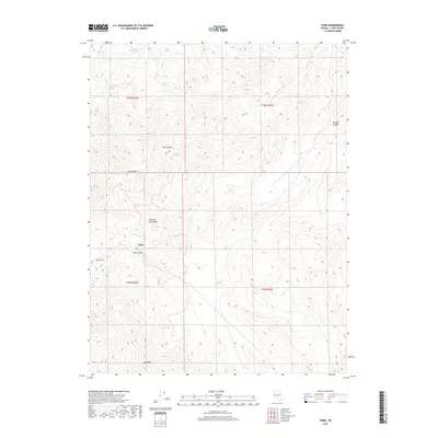
2018 Map of Como
USGS Topo · Published 2018About this map
Como sits within the high-elevation terrain of the Pine Nut Mountains, a region defined by its complex network of canyons and isolated water sources. This 2018 survey documents the vicinity of Lyon Peak and Rawe Peak, where the landscape is marked by the historical footprint of subterranean activity at the Boyle Tunnel. The presence of numerous named springs, such as Stone Spring, Barton Springs, and Cottonwood Spring, suggests the critical importance of water management in this arid environment. The map details the drainage patterns through Mill Canyon and Bull Canyon, illustrating how the topography transitions from steep summits to the lower reaches of Mineral Canyon. This layout reflects the area's history of remote mountain settlement and resource extraction, where roads and trails were dictated by the formidable alpine geography.
Find a feature on this map
19 named features on this map. Tap any name to fly to it.
Don’t see what you’re looking for? This feature index may not catch every label — zoom into the map to look around manually.
Map Details
Editions of this 2018 Como Map
This is the sole edition of this map. No revisions or reprints were ever made.
Other maps of this area

1891 · Carson
USGS Topo · 1:125,000

1891 · Wabuska
USGS Topo · 1:125,000

1893 · Carson
USGS Topo · 1:125,000

1894 · Wabuska
USGS Topo · 1:125,000

1950 · Virginia City
USGS Topo · 1:62,500

1952 · Virginia City
USGS Topo · 1:62,500

1956 · Dayton
USGS Topo · 1:62,500

1957 · Como
USGS Topo · 1:62,500

1957 · Churchill Butte
USGS Topo · 1:62,500

1957 · Reno
USGS Topo · 1:250,000