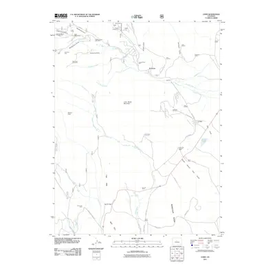
2011 Map of Como
USGS Topo · Published 2011About this map
Como and its surrounding ranchlands sit at the heart of this high-elevation mountain basin, reflecting a landscape shaped by both cattle operations and a legacy of mining. The settlement patterns are defined by family-named landmarks and large agricultural holdings such as the Circle V Bar Ranch, Robinson Ranch, and Bar D Ranch. These sites are linked by historic transit corridors like Boreas Pass Rd, which winds through the terrain near Peabodys and Hamilton.
Find a feature on this map
61 named features on this map. Tap any name to fly to it.
Don’t see what you’re looking for? This feature index may not catch every label — zoom into the map to look around manually.
Map Details
Editions of this 2011 Como Map
This is the sole edition of this map. No revisions or reprints were ever made.
Other maps of this area

1889 · Leadville
USGS Topo · 1:125,000

1891 · Leadville
USGS Topo · 1:125,000

1934 · Climax
USGS Topo · 1:48,000

1937 · Como
USGS Topo · 1:62,500

1938 · Mt. Lincoln
USGS Topo · 1:48,000

1942 · Leadville
USGS Topo · 1:125,000

1945 · Mount Lincoln
USGS Topo · 1:62,500

1953 · Denver
USGS Topo · 1:250,000

1956 · Elkhorn
USGS Topo · 1:24,000

1956 · Fairplay East
USGS Topo · 1:24,000