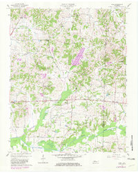
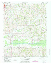
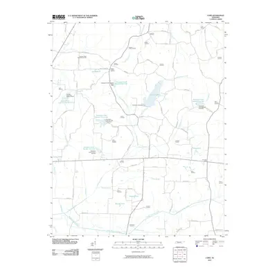
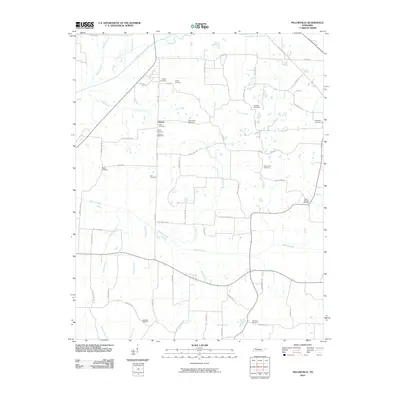
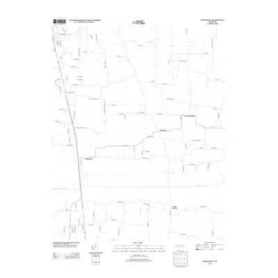
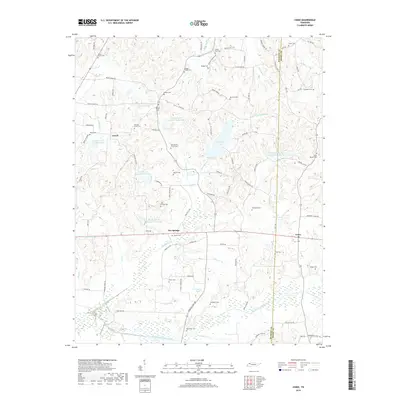
1957 Map of Como
USGS Topo · Published 1981About this map
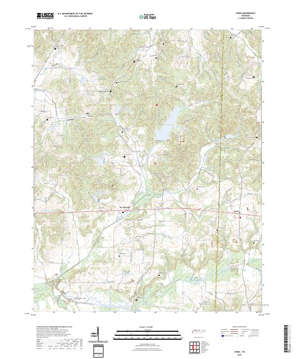
The Middle Fork Obion River and its various tributaries, including Cypress Creek, Thompson Creek, and Cane Creek, define the landscape of this Tennessee region on the border of Weakley and Henry counties. This survey, primarily based on 1950s data with later revisions, shows a rural community organized around small settlements like Como, Ore Springs, and Jewell. The map is particularly dense with features of interest to genealogists, documenting numerous small country churches such as Macks Grove Ch, Little Zion Ch, and Wesleys Chapel, alongside family-named cemeteries like Campbell Cem and Taylor Cem. The creation of Garrett Lake stands out as a significant landmark in the central terrain. Social life in the mid-20th century is further evidenced by the Central Sch and the Eagle Hill Community Center, while the presence of Peelers Pond and Muzzalls Pond highlights the importance of local water management in this agricultural area.
Find a feature on this map
50 named features on this map. Tap any name to fly to it.
Don’t see what you’re looking for? This feature index may not catch every label — zoom into the map to look around manually.
Map Details
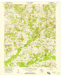
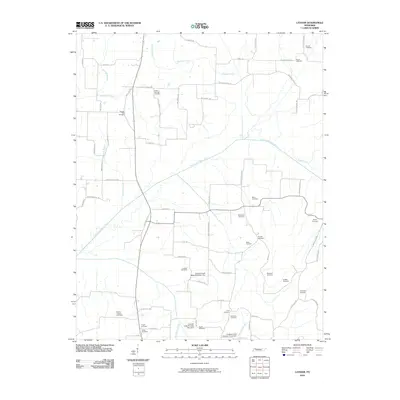
Editions of this 1957 Como Map
3 editions found
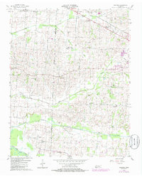
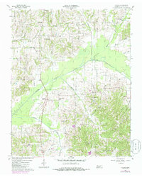
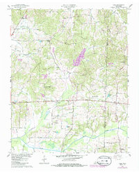
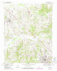
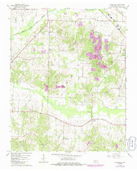
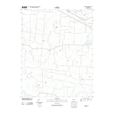
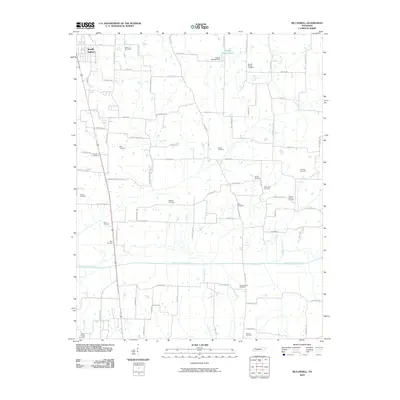
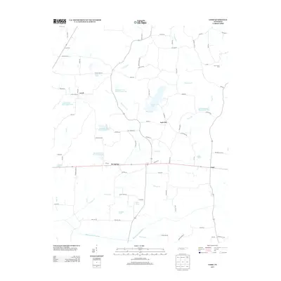
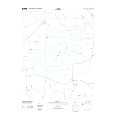
Historical Maps of Ore Springs Through Time
31 maps found
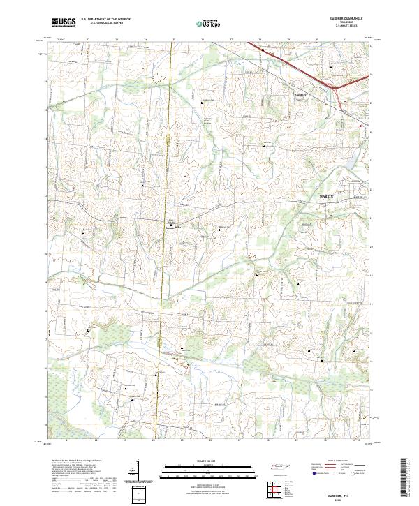
1956 Gardner
Weakley County, TN
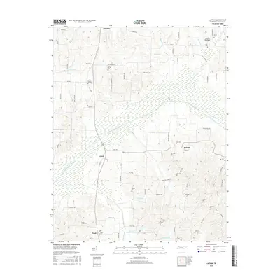
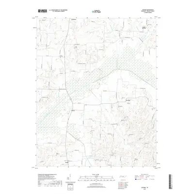
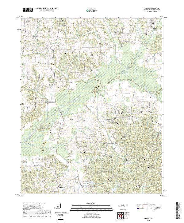
1956 Latham
Weakley County, TN
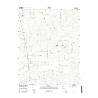
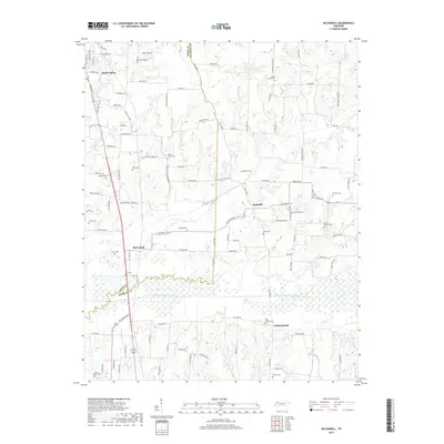
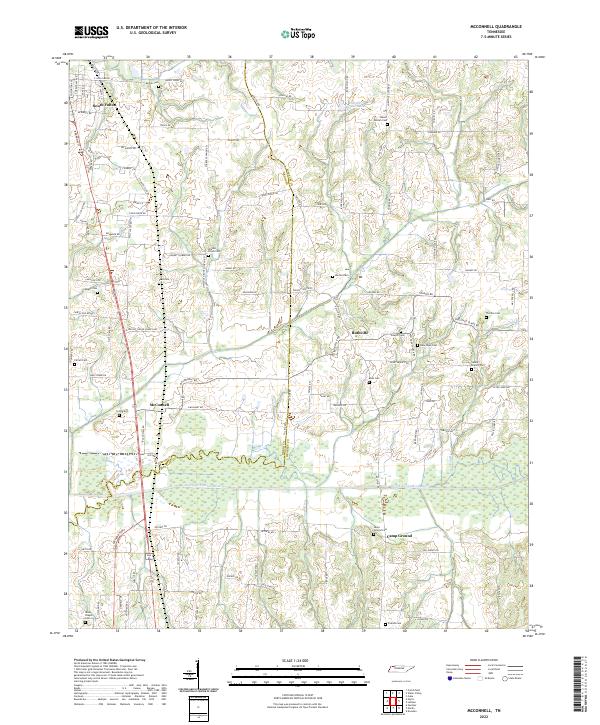
1956 Mc Connell
Weakley County, TN
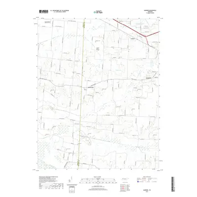
1957 Como
Weakley County, TN
1967 Mc Kenzie
Weakley County, TN
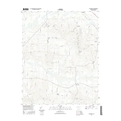
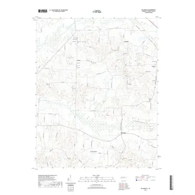
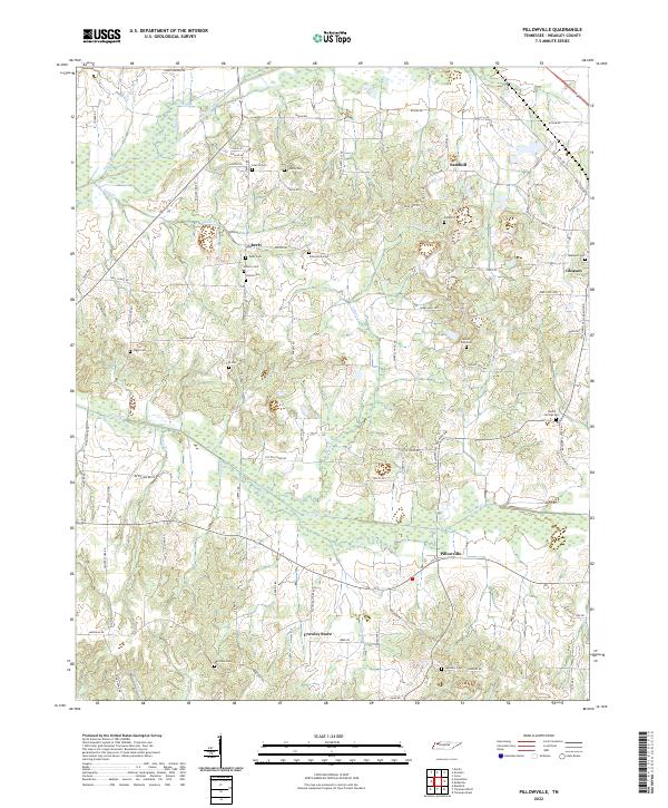
1967 Pillowville
Weakley County, TN
2010 Como
Weakley County, TN
2010 Gardner
Weakley County, TN
2010 Latham
Weakley County, TN
2010 McConnell
Weakley County, TN
2010 Pillowville
Weakley County, TN
2013 Como
Weakley County, TN
2013 Gardner
Weakley County, TN
2013 Latham
Weakley County, TN
2013 McConnell
Weakley County, TN
2013 Pillowville
Weakley County, TN
2016 Como
Weakley County, TN
2016 Gardner
Weakley County, TN
2016 Latham
Weakley County, TN
2016 McConnell
Weakley County, TN
2016 Pillowville
Weakley County, TN
2019 Como
Weakley County, TN
2019 Gardner
Weakley County, TN
2019 Latham
Weakley County, TN
2019 McConnell
Weakley County, TN
2019 Pillowville
Weakley County, TN
2022 Como
Weakley County, TN
2022 Gardner
Weakley County, TN
2022 Latham
Weakley County, TN
2022 McConnell
Weakley County, TN
2022 Pillowville
Weakley County, TN