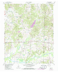
1957 Map of Como
USGS Topo · Published 1985About this map
The Middle Fork Obion River defines the southern reach of this landscape, where the wetland bottomlands give way to a dense network of rural communities across Weakley and Henry Counties. Originally surveyed in 1957, the map illustrates an era of small-scale agriculture and social hubs, centered around crossroads like Como and Ore Springs. The prominence of local churches such as New Hope Ch and Hickory Grove Ch, often accompanied by their namesake cemeteries, speaks to the deep-rooted family history of the region.
Find a feature on this map
57 named features on this map. Tap any name to fly to it.
Don’t see what you’re looking for? This feature index may not catch every label — zoom into the map to look around manually.
Map Details
Editions of this 1957 Como Map
3 editions found
Other maps of this area

1936 · Crossland
USGS Topo · 1:24,000

1950 · Osage
USGS Topo · 1:24,000

1950 · Cottage Grove
USGS Topo · 1:24,000

1952 · Dresden
USGS Topo · 1:24,000

1955 · Henry
USGS Topo · 1:24,000

1956 · Latham
USGS Topo · 1:24,000
1956 · Palmersville
USGS Topo · 1:24,000

1956 · Dyersburg
USGS Topo · 1:250,000

1957 · Como
USGS Topo · 1:24,000

1967 · Pillowville
USGS Topo · 1:24,000