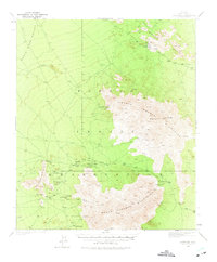
1937 Map of Comobabi
USGS Topo · Published 1975About this map
Mining operations and Papago tribal settlements define this arid stretch of the Sonoran Desert as surveyed in the late 1930s. The landscape is dominated by the North Comobabi Mountains and South Comobabi Mountains, where peaks like Mt Devine and Picacho Pk tower over the Santa Rosa Valley. Resource extraction is evident through several sites tucked into the hills, including the Picacho Mine, Cooncan Mine, and Mildren Mine.
Find a feature on this map
26 named features on this map. Tap any name to fly to it.
Don’t see what you’re looking for? This feature index may not catch every label — zoom into the map to look around manually.
Map Details
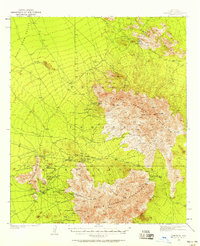
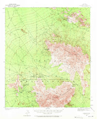
Editions of this 1937 Comobabi Map
4 editions found
Other maps of this area

1934 · Silver Bell
USGS Topo · 1:125,000

1937 · Comobabi
USGS Topo · 1:48,000

1938 · San Vicente
USGS Topo · 1:62,500

1941 · San Vicente
USGS Topo · 1:62,500

1941 · Baboquivari Peak
USGS Topo · 1:62,500

1941 · Sells
USGS Topo · 1:62,500

1942 · San Vicente
USGS Topo · 1:62,500

1942 · Comobabi
USGS Topo · 1:62,500

1943 · Sells
USGS Topo · 1:62,500

1943 · Fresnal
USGS Topo · 1:125,000