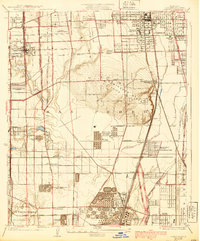
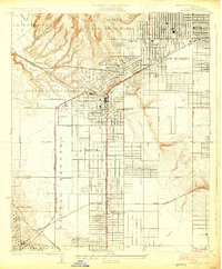
1930 Map of Compton
USGS Topo · Published 1939About this map
Compton and Gardena anchor this landscape during a period of rapid industrial transition in Los Angeles County. The terrain is dominated by the Dominguez Hills, where a concentrated network of Oil Wells and massive infrastructure like the Shell Oil Dominguez Refinery and Sunset Pacific Oil Tank Farm reveal the region's mid-century petroleum boom. This industrial footprint is balanced by local institutional life, seen in the Gardena Japanese School and the Dominguez Memorial Seminary.
Find a feature on this map
62 named features on this map. Tap any name to fly to it.
Don’t see what you’re looking for? This feature index may not catch every label — zoom into the map to look around manually.
Map Details
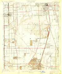
Editions of this 1930 Compton Map
2 editions found
Other maps of this area

1896 · Redondo
USGS Topo · 1:62,500

1896 · Downey
USGS Topo · 1:62,500

1899 · Downey
USGS Topo · 1:62,500

1901 · Southern California Sheet No. 1
USGS Topo · 1:250,000

1902 · Downey
USGS Topo · 1:62,500

1904 · Southern California Sheet No. 1
USGS Topo · 1:250,000
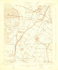
1923 · Bell
USGS Topo · 1:24,000

1923 · Wilmington
USGS Topo · 1:24,000
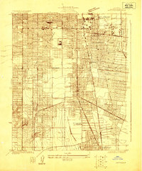
1923 · Watts
USGS Topo · 1:24,000
1924 · Inglewood
USGS Topo · 1:24,000