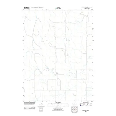
2011 Map of Comstock NW
USGS Topo · Published 2011About this map
Bohemian Brotherhood Cemetery serves as a significant cultural marker in this rural Garfield County landscape, signifying the Central European heritage of the early settlers who established roots in Nebraska. The surrounding terrain is defined by the winding paths of Sioux Creek and the North Branch Turtle Creek, which carve through the plains. Local infrastructure includes the Rejda Reservoir, held by the Rejda Dam, and the notable community gathering point of Jungmann Hall. The map reveals a sparse network of section roads and watercourses typical of the region's agricultural layout in the early 21st century, providing a clear record of land use and family-named landmarks.
Find a feature on this map
6 named features on this map. Tap any name to fly to it.
Don’t see what you’re looking for? This feature index may not catch every label — zoom into the map to look around manually.
Map Details
Editions of this 2011 Comstock NW Map
This is the sole edition of this map. No revisions or reprints were ever made.
Other maps of this area

1952 · Burwell
USGS Topo · 1:24,000

1952 · Sargent East
USGS Topo · 1:24,000

1952 · Elyria
USGS Topo · 1:24,000

1952 · Sargent SE
USGS Topo · 1:24,000

1952 · Burwell SE
USGS Topo · 1:24,000

1952 · Comstock
USGS Topo · 1:24,000

1952 · Taylor SE
USGS Topo · 1:24,000

1952 · Comstock NW
USGS Topo · 1:24,000

1952 · Comstock SE
USGS Topo · 1:24,000

1955 · Broken Bow
USGS Topo · 1:250,000