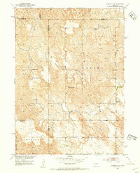
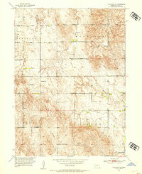
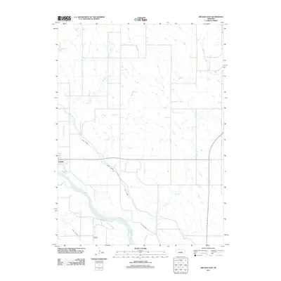
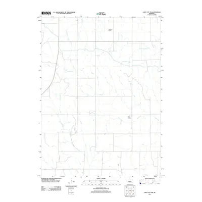
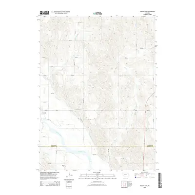
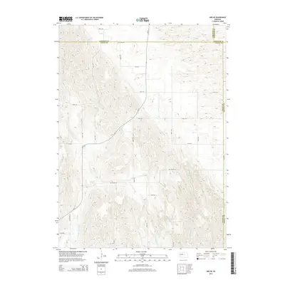
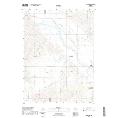
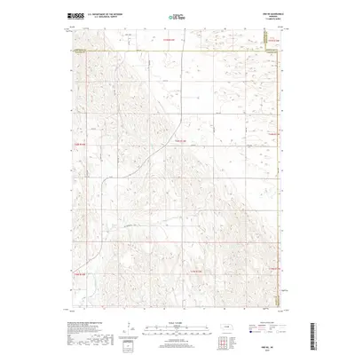
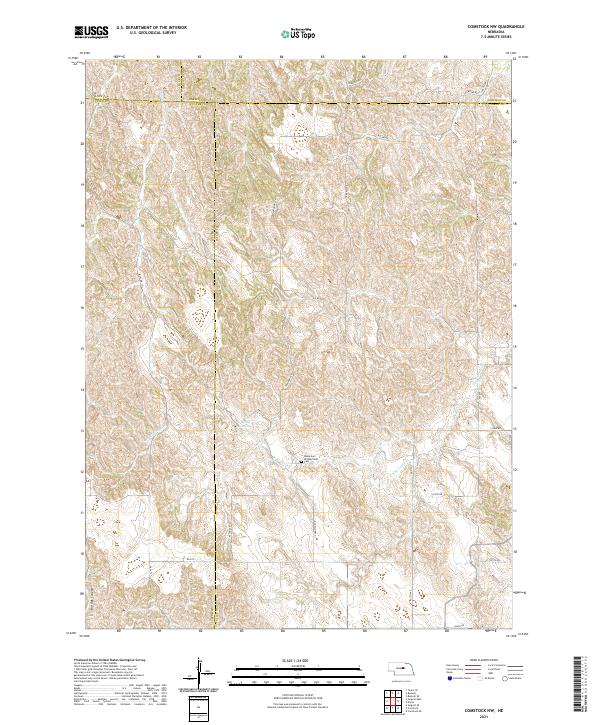
1952 Map of Comstock NW
USGS Topo · Published 1954About this map
Turtle Creek and its North Branch carve through the dissected plains of Central Nebraska, where the boundaries of Loup, Custer, Garfield, and Valley counties converge. This 1952 field-checked map reveals a rural landscape anchored by a dense network of country schools, reflecting a period when small, local education centers were the heart of the prairie community. Names like the Komensky Sch and Jungmann Hall suggest the enduring cultural heritage of the area's settlers.
Find a feature on this map
27 named features on this map. Tap any name to fly to it.
Don’t see what you’re looking for? This feature index may not catch every label — zoom into the map to look around manually.
Map Details
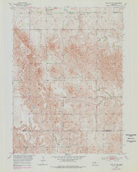
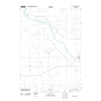
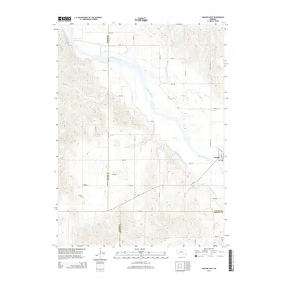
Editions of this 1952 Comstock NW Map
2 editions found
Historical Maps of Valley County Through Time
40 maps found
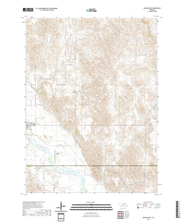
1951 Arcadia East
Valley County, NE
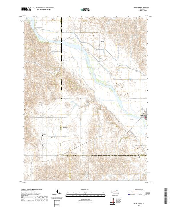
1951 Arcadia West
Valley County, NE
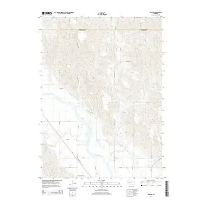
1952 Comstock NW
Valley County, NE
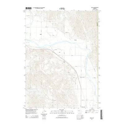
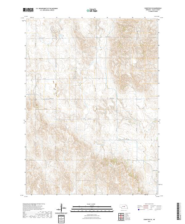
1952 Comstock SE
Valley County, NE
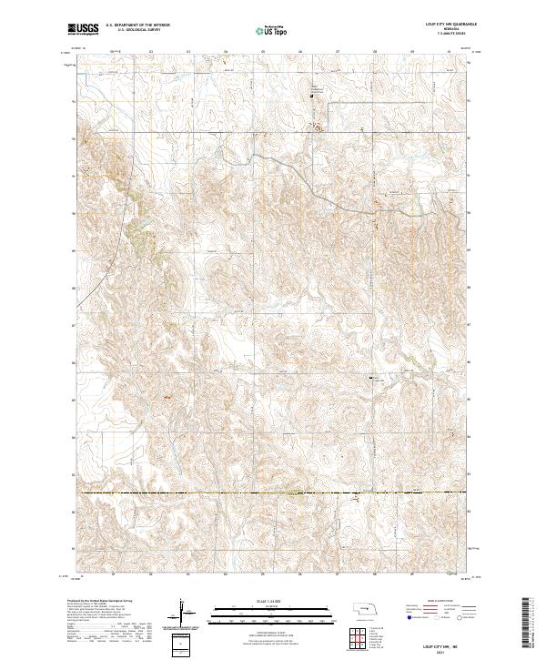
1953 Loup City NW
Valley County, NE
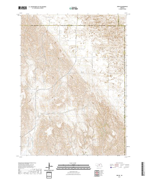
1954 Ord NE
Valley County, NE

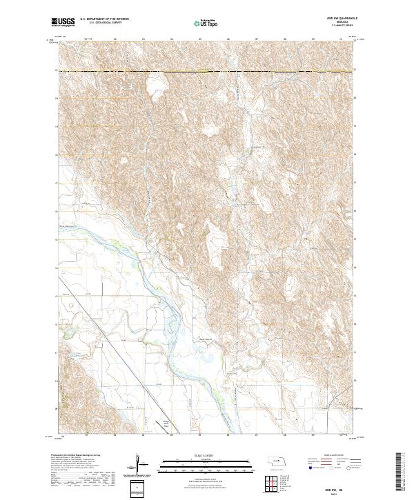
1954 Ord NW
Valley County, NE
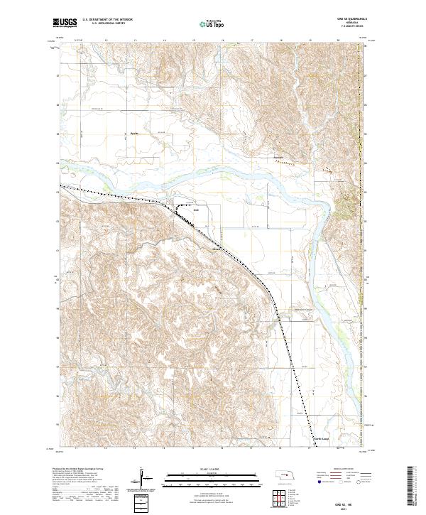
1954 Ord SE
Valley County, NE
2011 Arcadia East
Valley County, NE
2011 Arcadia West
Valley County, NE
2011 Comstock NW
Valley County, NE
2011 Comstock SE
Valley County, NE
2011 Loup City NW
Valley County, NE
2011 Ord NE
Valley County, NE
2011 Ord NW
Valley County, NE
2011 Ord SE
Valley County, NE
2014 Arcadia East
Valley County, NE
2014 Arcadia West
Valley County, NE
2014 Comstock NW
Valley County, NE

2014 Comstock SE
Valley County, NE
2014 Loup City NW
Valley County, NE
2014 Ord NE
Valley County, NE
2014 Ord NW
Valley County, NE
2014 Ord SE
Valley County, NE
2017 Arcadia East
Valley County, NE
2017 Arcadia West
Valley County, NE
2017 Comstock NW
Valley County, NE
2017 Comstock SE
Valley County, NE
2017 Loup City NW
Valley County, NE
2017 Ord NE
Valley County, NE
2017 Ord NW
Valley County, NE
2017 Ord SE
Valley County, NE
2021 Arcadia East
Valley County, NE
2021 Arcadia West
Valley County, NE
2021 Comstock NW
Valley County, NE
2021 Comstock SE
Valley County, NE
2021 Loup City NW
Valley County, NE
2021 Ord NE
Valley County, NE
2021 Ord NW
Valley County, NE
2021 Ord SE
Valley County, NE