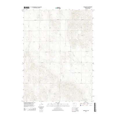
2014 Map of Comstock SE
USGS Topo · Published 2014About this map
The rolling hills of Valley County define this landscape, where the drainage systems of S Br Turtle Cr and Dane Cr carve through the high plains. The topography is marked by a rigorous section-line road grid, including Seven Mile Ave and Sargent Rd, which underscores the systematic agricultural development of the region. Notable local terrain features such as Canyon Ave and Hawthorne Cr indicate the varied elevation and natural erosion patterns that have shaped this portion of Nebraska. This 2014 survey reflects a modern agricultural layout where traditional county roads like Comstock Rd and 809th Rd continue to provide the primary framework for land access and movement across the rural prairie.
Find a feature on this map
25 named features on this map. Tap any name to fly to it.
Don’t see what you’re looking for? This feature index may not catch every label — zoom into the map to look around manually.
Map Details
Editions of this 2014 Comstock SE Map
This is the sole edition of this map. No revisions or reprints were ever made.
Other maps of this area

1899 · Loup
USGS Topo · 1:125,000

1951 · Arcadia West
USGS Topo · 1:24,000

1951 · Arcadia East
USGS Topo · 1:24,000

1952 · Elyria
USGS Topo · 1:24,000

1952 · Comstock
USGS Topo · 1:24,000

1952 · Comstock NW
USGS Topo · 1:24,000

1952 · Comstock SE
USGS Topo · 1:24,000

1953 · Loup City NW
USGS Topo · 1:24,000

1954 · Ord
USGS Topo · 1:24,000

1954 · Ord NW
USGS Topo · 1:24,000