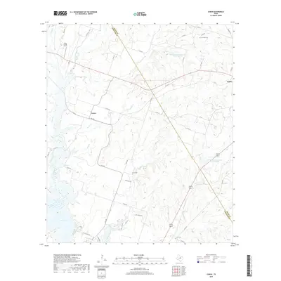
2019 Map of Comyn
USGS Topo · Published 2019About this map
The boundary between Erath Co and Comanche Co bisects a landscape defined by rolling creek beds and the headwaters of Proctor Lake. The small community of Comyn sits at the junction of FM 1496 and Co RD 440, while the outskirts of Dublin appear to the northeast. This portion of Central Texas is heavily marked by water management and aviation, featuring numerous small tributaries like Walker Cr and Sowells Cr that feed into the larger reservoir system. For genealogists and local historians, several burial grounds are preserved across the terrain, including Cow Creek Cem in the north and Hanson Cem and Proctor Cem further south. The presence of Smith Flying Service near the Leon River highlights the rural transport and service infrastructure that supports the surrounding Erath County ranchlands.
Find a feature on this map
48 named features on this map. Tap any name to fly to it.
Don’t see what you’re looking for? This feature index may not catch every label — zoom into the map to look around manually.
Map Details
Editions of this 2019 Comyn Map
This is the sole edition of this map. No revisions or reprints were ever made.
Other maps of this area

1888 · Hamilton
USGS Topo · 1:125,000

1889 · Brownwood
USGS Topo · 1:125,000

1890 · Stephenville
USGS Topo · 1:125,000

1894 · Hamilton
USGS Topo · 1:125,000

1894 · Eastland
USGS Topo · 1:125,000

1894 · Brownwood
USGS Topo · 1:125,000

1920 · Stephenville
USGS Topo · 1:125,000

1954 · Brownwood
USGS Topo · 1:250,000

1954 · Abilene
USGS Topo · 1:250,000

1956 · Gustine
USGS Topo · 1:62,500