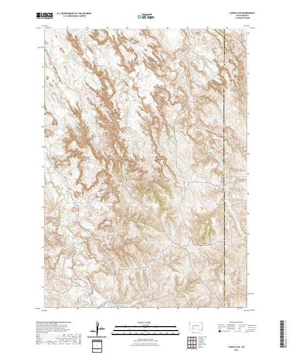
2021 Map of Conata SW
USGS Topo · Published 2021About this map
Medicine Root Cr and Redwater Cr carve through this section of the Oglala Lakota landscape, defining the drainage patterns in a territory characterized by complex elevation changes. The 2021 survey illustrates the rural infrastructure of the region, where River Rd and Route Rd navigate the lowlands near the confluence of Mud Cr. The boundary between Oglala Lakota and Jackson counties runs vertically through the eastern portion of the map, marking a administrative divide in this sparsely populated terrain. While modern road labels like N Rt 80 appear, the map primarily documents the natural hydrology and the Public Land Survey System grid (including T41N R41W and T42N R41W) that continues to organize the geography of the South Dakota plains.
Find a feature on this map
11 named features on this map. Tap any name to fly to it.
Don’t see what you’re looking for? This feature index may not catch every label — zoom into the map to look around manually.
Map Details
Editions of this 2021 Conata SW Map
This is the sole edition of this map. No revisions or reprints were ever made.
Other maps of this area

1950 · Conata
USGS Topo · 1:24,000

1950 · Conata SW
USGS Topo · 1:24,000

1950 · Imlay SE
USGS Topo · 1:24,000

1950 · Bouquet Table
USGS Topo · 1:24,000

1952 · Conata NE
USGS Topo · 1:24,000

1952 · Bouquet Table
USGS Topo · 1:24,000

1952 · Conata SE
USGS Topo · 1:24,000

1952 · Conata
USGS Topo · 1:24,000

1955 · Hot Springs
USGS Topo · 1:250,000

1981 · Wall
USGS Topo · 1:100,000