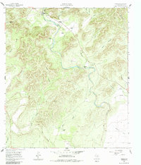
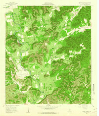
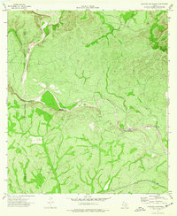
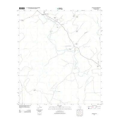
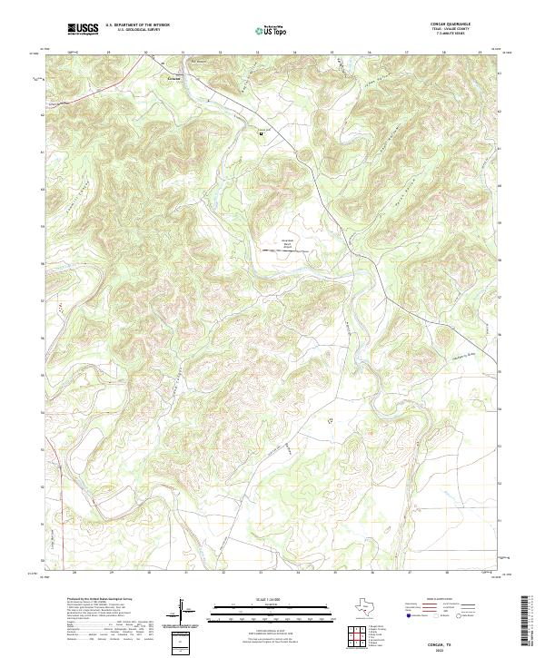
1960 Map of Concan
USGS Topo · Published 1984About this map
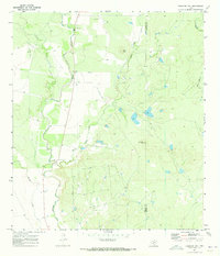
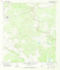
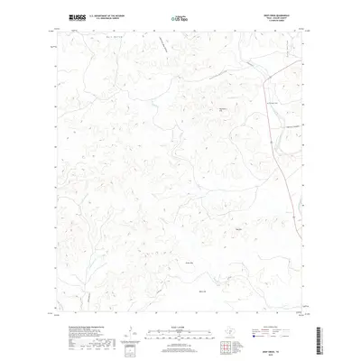
The Frio River carves a winding path through this corner of Uvalde County, where the settlement of Concan serves as a focal point for the surrounding canyon landscape. This 1960 survey illustrates a ranching-centric economy, with established properties such as Big Tree Ranch, Stoner Ranch, and Van Pelt Ranch spanning the hollows and draws. The terrain is marked by significant topographical landmarks like The Shut-in and Silver Mine Pass, indicating a history of resource exploration and natural bottlenecks. Local genealogy is anchored at the Concan Cem, while the presence of a Landing Strip and various Gravel Pits reflects the mid-century infrastructure. To the west, the Dry Frio River runs parallel to its namesake through Sawmill Canyon, highlighting the complex drainage patterns of the Texas Hill Country.
Find a feature on this map
31 named features on this map. Tap any name to fly to it.
Don’t see what you’re looking for? This feature index may not catch every label — zoom into the map to look around manually.
Map Details
Editions of this 1960 Concan Map
2 editions found
Historical Maps of Uvalde County Through Time
125 maps found
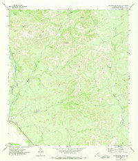
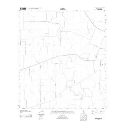
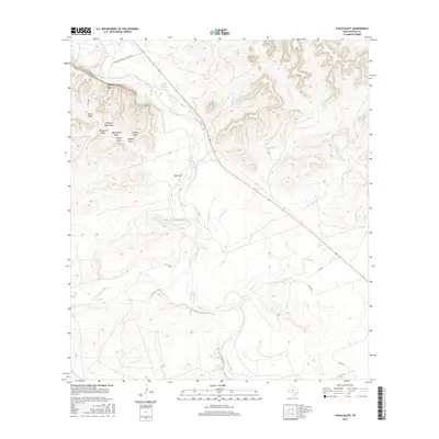
1960 Chalk Bluff
Uvalde County, TX
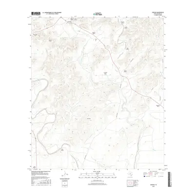
1960 Concan
Uvalde County, TX
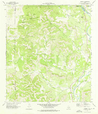
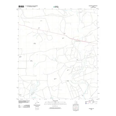
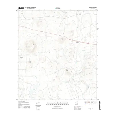
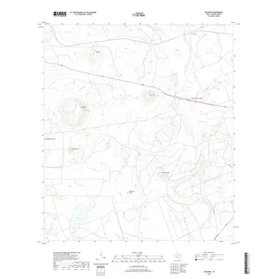
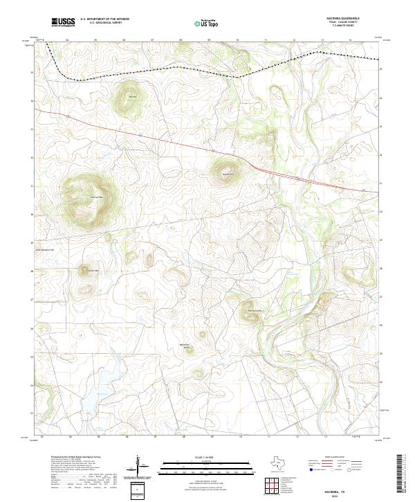
1960 Hacienda
Uvalde County, TX
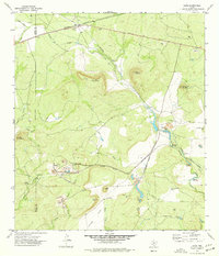
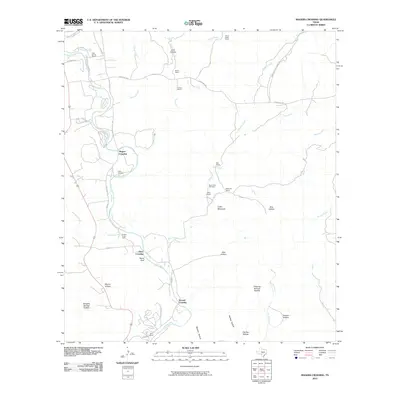
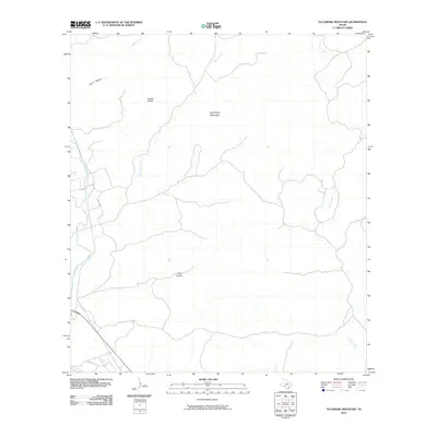
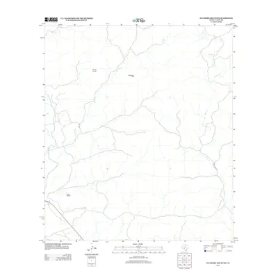
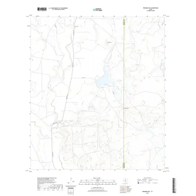
1960 Magers Crossing
Uvalde County, TX
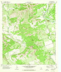
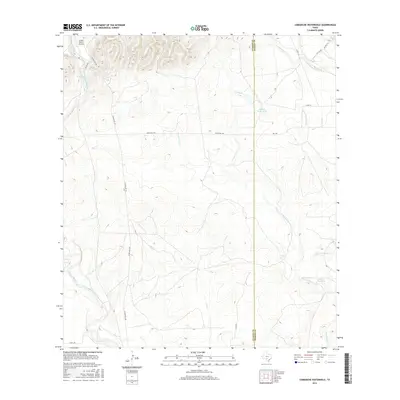
1969 Comanche Waterhole
Uvalde County, TX
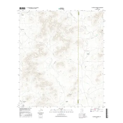
1969 Flatrock Crossing
Uvalde County, TX
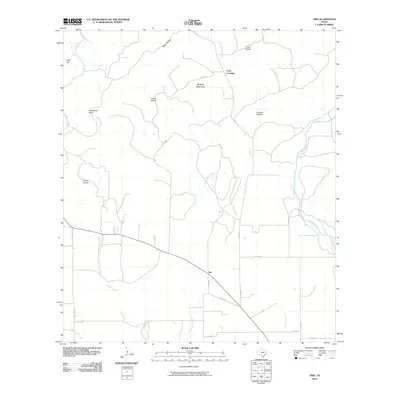
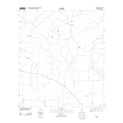
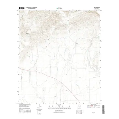
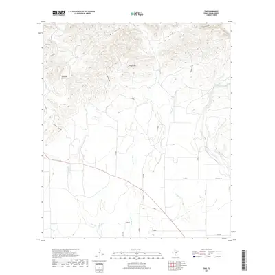
1969 Trio
Uvalde County, TX
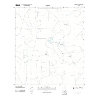
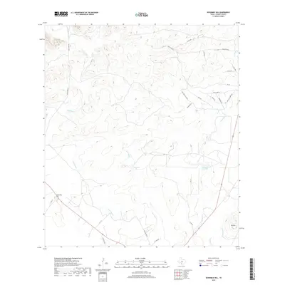
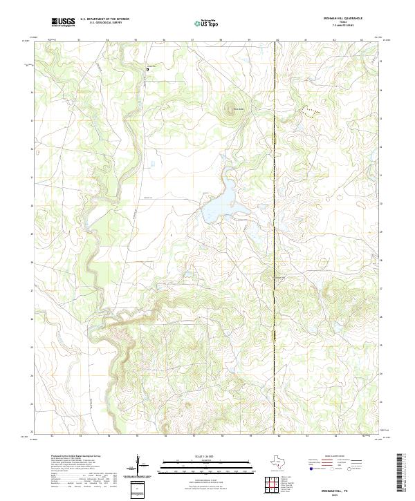
1970 Irishman Hill
Uvalde County, TX
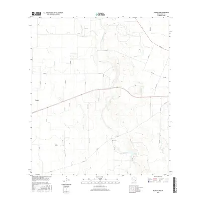
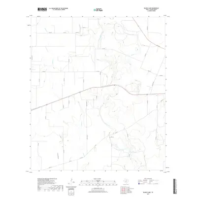
1971 Blanco Lake
Uvalde County, TX
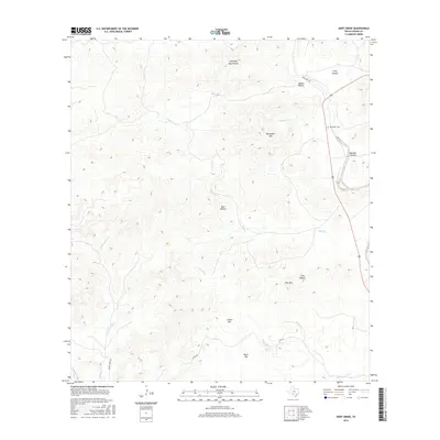
1971 Deep Creek
Uvalde County, TX
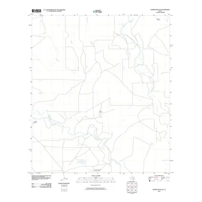
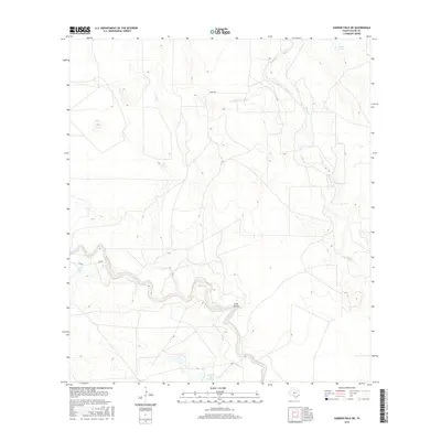
1971 Garner Field NE
Uvalde County, TX
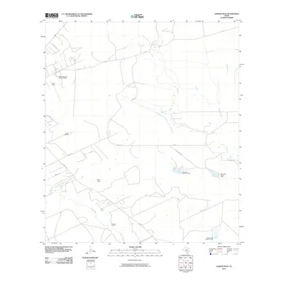
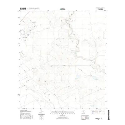
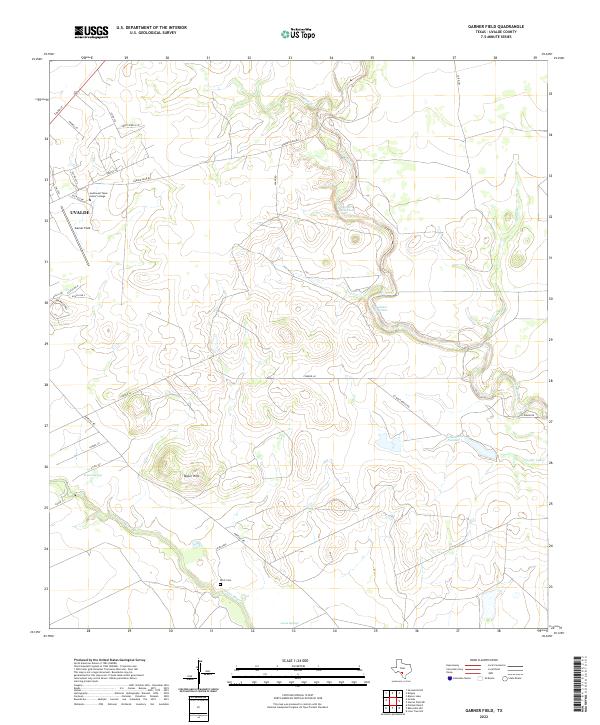
1971 Garner Field
Uvalde County, TX
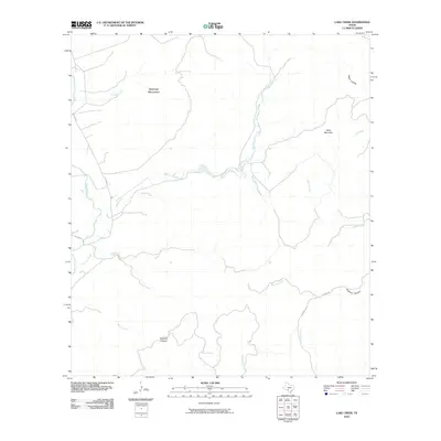
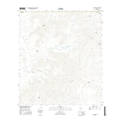
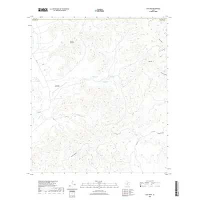
1971 Lake Creek
Uvalde County, TX
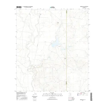
1971 Reagan Wells
Uvalde County, TX
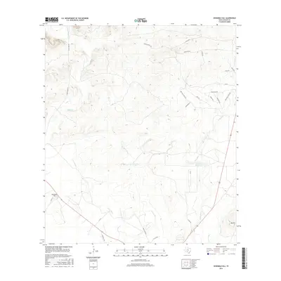
1971 Sevenmile Hill
Uvalde County, TX
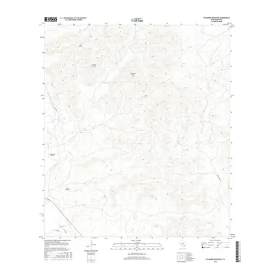
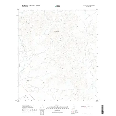
1971 Sycamore Mountain
Uvalde County, TX
1973 Montell
Uvalde County, TX
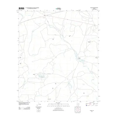
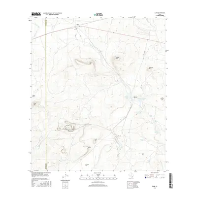
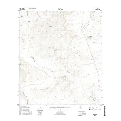
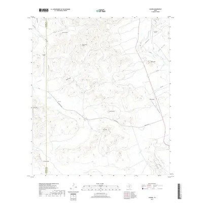
1974 Cline
Uvalde County, TX
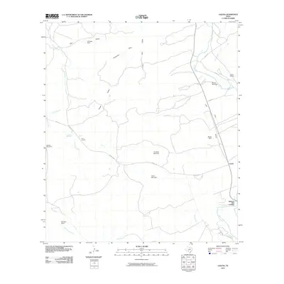
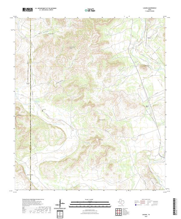
1974 Laguna
Uvalde County, TX
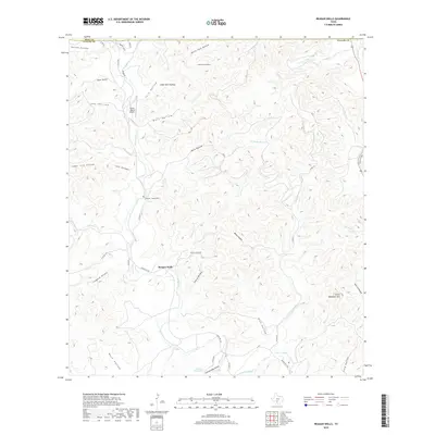
1974 Mustang Waterhole
Uvalde County, TX
2010 Blanco Lake
Uvalde County, TX
2010 Chalk Bluff
Uvalde County, TX
2010 Cline
Uvalde County, TX
2010 Comanche Waterhole
Uvalde County, TX
2010 Concan
Uvalde County, TX
2010 Deep Creek
Uvalde County, TX
2010 Flatrock Crossing
Uvalde County, TX
2010 Garner Field NE
Uvalde County, TX
2010 Garner Field
Uvalde County, TX
2010 Hacienda
Uvalde County, TX
2010 Irishman Hill
Uvalde County, TX
2010 Laguna
Uvalde County, TX
2010 Lake Creek
Uvalde County, TX
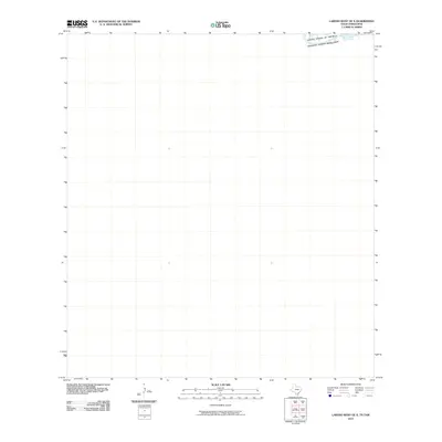
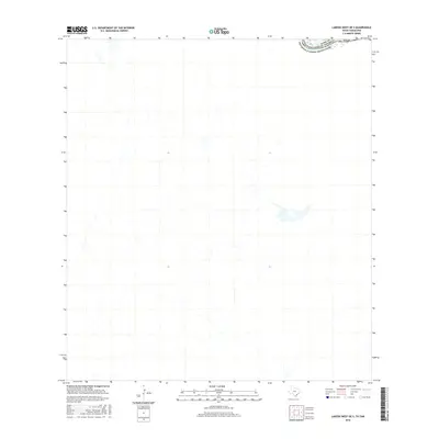
2010 Laredo West OE S
Uvalde County, TX
2010 Magers Crossing
Uvalde County, TX
2010 Montell
Uvalde County, TX
2010 Mustang Waterhole
Uvalde County, TX
2010 Reagan Wells
Uvalde County, TX
2010 Sevenmile Hill
Uvalde County, TX
2010 Sycamore Mountain
Uvalde County, TX
2010 Trio
Uvalde County, TX
2012 Blanco Lake
Uvalde County, TX
2012 Cline
Uvalde County, TX
2012 Concan
Uvalde County, TX
2012 Deep Creek
Uvalde County, TX
2012 Flatrock Crossing
Uvalde County, TX

2012 Laguna
Uvalde County, TX
2012 Lake Creek
Uvalde County, TX
2012 Reagan Wells
Uvalde County, TX
2012 Sevenmile Hill
Uvalde County, TX
2013 Chalk Bluff
Uvalde County, TX
2013 Comanche Waterhole
Uvalde County, TX
2013 Garner Field NE
Uvalde County, TX
2013 Garner Field
Uvalde County, TX
2013 Hacienda
Uvalde County, TX
2013 Irishman Hill
Uvalde County, TX
2013 Laredo West OE S
Uvalde County, TX
2013 Magers Crossing
Uvalde County, TX
2013 Montell
Uvalde County, TX
2013 Mustang Waterhole
Uvalde County, TX
2013 Sycamore Mountain
Uvalde County, TX
2013 Trio
Uvalde County, TX
2016 Blanco Lake
Uvalde County, TX
2016 Chalk Bluff
Uvalde County, TX
2016 Cline
Uvalde County, TX
2016 Comanche Waterhole
Uvalde County, TX
2016 Concan
Uvalde County, TX
2016 Deep Creek
Uvalde County, TX
2016 Flatrock Crossing
Uvalde County, TX
2016 Garner Field NE
Uvalde County, TX
2016 Garner Field
Uvalde County, TX
2016 Hacienda
Uvalde County, TX
2016 Irishman Hill
Uvalde County, TX
2016 Laguna
Uvalde County, TX
2016 Lake Creek
Uvalde County, TX
2016 Laredo West OE S
Uvalde County, TX
2016 Magers Crossing
Uvalde County, TX
2016 Montell
Uvalde County, TX
2016 Mustang Waterhole
Uvalde County, TX
2016 Reagan Wells
Uvalde County, TX
2016 Sevenmile Hill
Uvalde County, TX
2016 Sycamore Mountain
Uvalde County, TX
2016 Trio
Uvalde County, TX
2019 Blanco Lake
Uvalde County, TX
2019 Chalk Bluff
Uvalde County, TX
2019 Cline
Uvalde County, TX
2019 Comanche Waterhole
Uvalde County, TX
2019 Concan
Uvalde County, TX
2019 Deep Creek
Uvalde County, TX
2019 Flatrock Crossing
Uvalde County, TX
2019 Garner Field NE
Uvalde County, TX
2019 Garner Field
Uvalde County, TX
2019 Hacienda
Uvalde County, TX
2019 Irishman Hill
Uvalde County, TX
2019 Laguna
Uvalde County, TX
2019 Lake Creek
Uvalde County, TX
2019 Laredo West OE S
Uvalde County, TX
2019 Magers Crossing
Uvalde County, TX
2019 Montell
Uvalde County, TX
2019 Mustang Waterhole
Uvalde County, TX
2019 Reagan Wells
Uvalde County, TX
2019 Sevenmile Hill
Uvalde County, TX
2019 Sycamore Mountain
Uvalde County, TX
2019 Trio
Uvalde County, TX
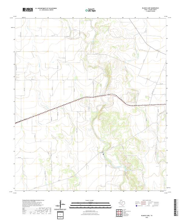
2022 Blanco Lake
Uvalde County, TX
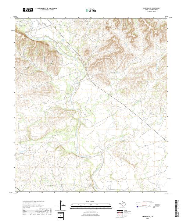
2022 Chalk Bluff
Uvalde County, TX
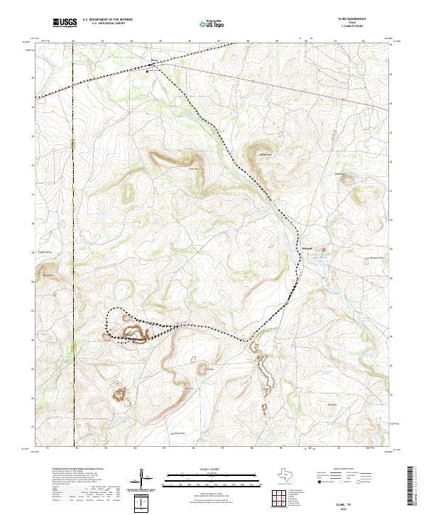
2022 Cline
Uvalde County, TX
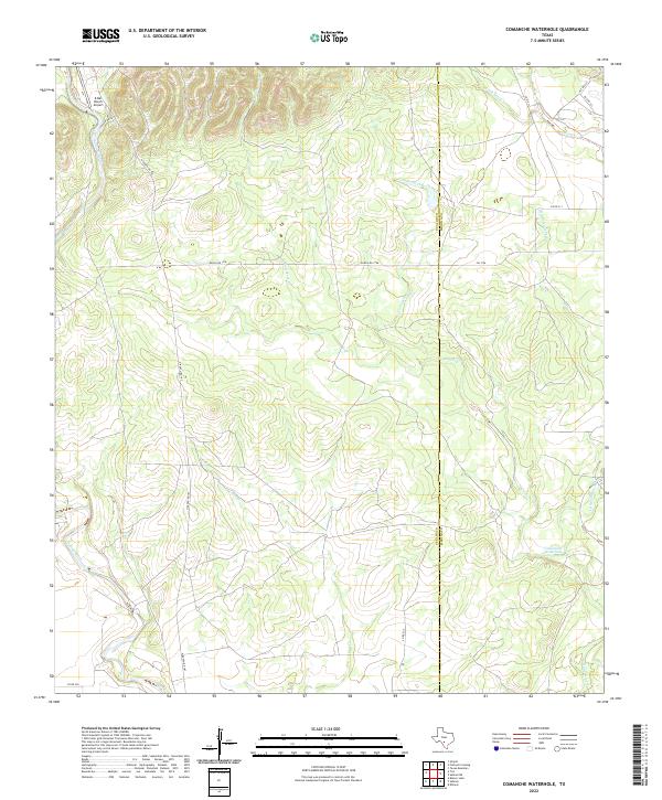
2022 Comanche Waterhole
Uvalde County, TX
2022 Concan
Uvalde County, TX
2022 Deep Creek
Uvalde County, TX
2022 Flatrock Crossing
Uvalde County, TX
2022 Garner Field NE
Uvalde County, TX
2022 Garner Field
Uvalde County, TX
2022 Hacienda
Uvalde County, TX
2022 Irishman Hill
Uvalde County, TX
2022 Laguna
Uvalde County, TX
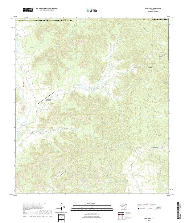
2022 Lake Creek
Uvalde County, TX
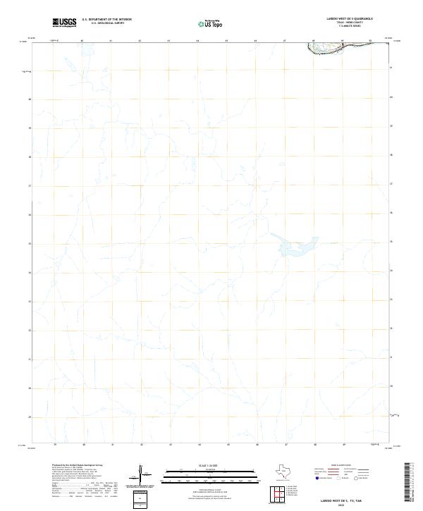
2022 Laredo West OE S
Uvalde County, TX
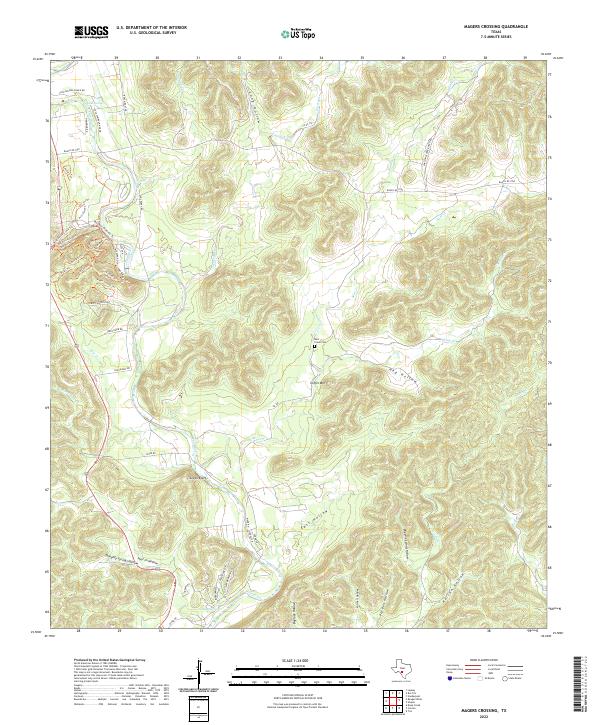
2022 Magers Crossing
Uvalde County, TX
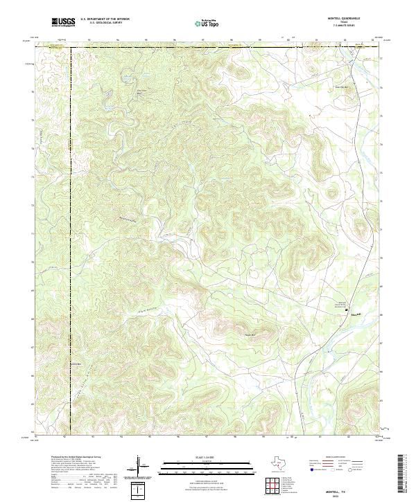
2022 Montell
Uvalde County, TX
2022 Mustang Waterhole
Uvalde County, TX
2022 Reagan Wells
Uvalde County, TX
2022 Sevenmile Hill
Uvalde County, TX
2022 Sycamore Mountain
Uvalde County, TX
2022 Trio
Uvalde County, TX