Loading...
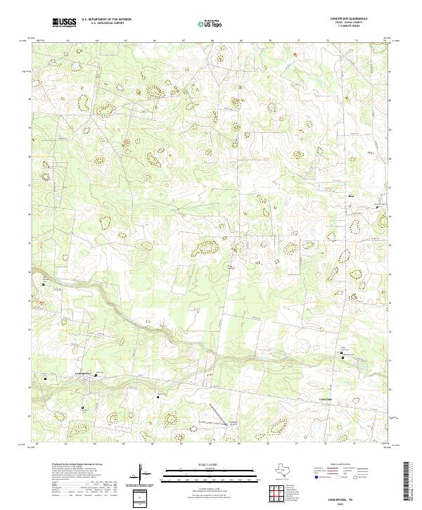
Loading map...2022 Map of Concepcion
USGS Topo · Published 2022About this map
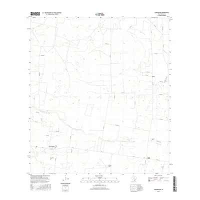
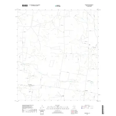
Concepcion and the surrounding brushlands of Duval County are defined by a network of drainage creeks and deeply rooted family histories. This landscape is centered at the junction of FM 716 and FM 1329, where the settlement of Concepcion sits near the banks of Macho Cr. The area is notably dense with small family and community burial grounds, including the Velas Cem, Perez Cem, and Salinas Cem, which serve as vital markers of the region's ranching heritage.
Find a feature on this map
43 named features on this map. Tap any name to fly to it.
Don’t see what you’re looking for? This feature index may not catch every label — zoom into the map to look around manually.
Map Details
Date Portrayed2022
Date Published2022
PublisherU.S. Geological Survey
Map TypeTopographic
Scale1:24,000
Physical Dimensions24 x 29 inches
Editions of this 2022 Concepcion Map
This is the sole edition of this map. No revisions or reprints were ever made.
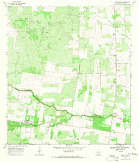
Historical Maps of Santa Cruz Through Time
6 maps found
Featured Locations
Source Details
SourceU.S. Geological Survey
CopyrightPublic Domain