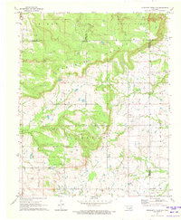
1971 Map of Concharty Mountain
USGS Topo · Published 1973About this map
Bixby Mountain and Stone Bluff Mountain dominate the northern landscape of this region, which sits at the intersection of Tulsa, Okmulgee, Wagoner, and Muskogee Counties. The terrain is defined by its industrial activity, with numerous oil wells and coal mines scattered across the elevations of Concharty Mountain and Bryan Mountain. This era captures a landscape of small, dispersed communities linked by a network of local institutions.
Find a feature on this map
24 named features on this map. Tap any name to fly to it.
Don’t see what you’re looking for? This feature index may not catch every label — zoom into the map to look around manually.
Map Details
Editions of this 1971 Concharty Mountain Map
2 editions found
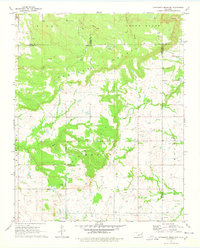
Other maps of this area

1896 · Okmulgee
USGS Topo · 1:125,000

1900 · Okmulgee
USGS Topo · 1:125,000

1946 · Fort Smith
USGS Topo · 1:250,000

1957 · Leonard
USGS Topo · 1:24,000
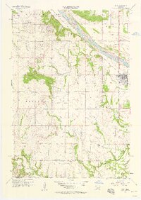
1957 · Bixby
USGS Topo · 1:24,000
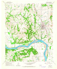
1963 · Coweta
USGS Topo · 1:24,000

1965 · Fort Smith
USGS Topo · 1:250,000

1967 · Fort Smith
USGS Topo · 1:250,000
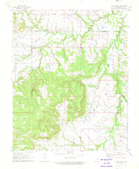
1971 · Spanish Peak
USGS Topo · 1:24,000
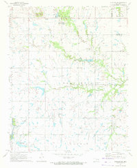
1971 · Okmulgee NE
USGS Topo · 1:24,000