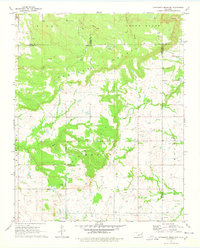
1971 Map of Concharty Mountain
USGS Topo · Published 1978About this map
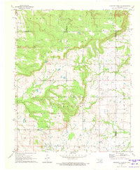
Concharty Mountain and Negry Mountain dominate the local topography in this portion of the Oklahoma hill country, where the borders of Okmulgee, Tulsa, Wagoner, and Muskogee counties converge. The 1971 landscape is a patchwork of rural infrastructure and resource extraction, marked by numerous oil wells and Coal Mines in the northern sections. Natural drainage is defined by the winding paths of Rock Creek and Concharty Creek as they cut through the timbered ridges.
Find a feature on this map
22 named features on this map. Tap any name to fly to it.
Don’t see what you’re looking for? This feature index may not catch every label — zoom into the map to look around manually.
Map Details
Editions of this 1971 Concharty Mountain Map
2 editions found
Other maps of this area

1896 · Okmulgee
USGS Topo · 1:125,000

1900 · Okmulgee
USGS Topo · 1:125,000

1946 · Fort Smith
USGS Topo · 1:250,000

1957 · Leonard
USGS Topo · 1:24,000
1957 · Bixby
USGS Topo · 1:24,000
1963 · Coweta
USGS Topo · 1:24,000

1965 · Fort Smith
USGS Topo · 1:250,000

1967 · Fort Smith
USGS Topo · 1:250,000
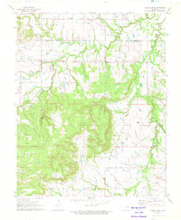
1971 · Spanish Peak
USGS Topo · 1:24,000
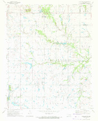
1971 · Okmulgee NE
USGS Topo · 1:24,000