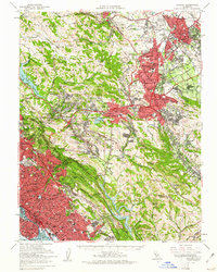
1959 Map of Concord
USGS Topo · Published 1961About this map
Concord and Walnut Creek emerge as significant suburban hubs in this late-fifties era, showing a landscape defined by rapid post-war development and established academic institutions. Educational landmarks like St Marys College, Mills College, and Holy Names College are prominent, alongside the Chabot Observatory. The mapping of transit networks reflects a region in transition, where the Sacramento Northern, Southern Pacific, and Atchison Topeka and Santa Fe railroads intersect with newer infrastructure like the Arnold Highway and Nimitz Freeway. This survey captures the East Bay as it balanced high-density urban corridors in Oakland and Berkeley against the growing inland communities of Pleasant Hill and Lafayette. Beyond the residential expansion, the map details protected areas and water infrastructure, including the San Pablo Reservoir and Upper San Leandro Reservoir, which are vital to the area's hydrology.
Find a feature on this map
107 named features on this map. Tap any name to fly to it.
Don’t see what you’re looking for? This feature index may not catch every label — zoom into the map to look around manually.
Map Details
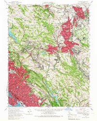
Editions of this 1959 Concord Map
2 editions found
Other maps of this area

1892 · San Mateo
USGS Topo · 1:62,500

1895 · San Francisco
USGS Topo · 1:62,500

1896 · San Mateo
USGS Topo · 1:62,500

1896 · Carquinez Strait
USGS Topo · 1:62,500

1896 · Mt. Diablo
USGS Topo · 1:62,500

1897 · Concord
USGS Topo · 1:62,500

1898 · Karquines
USGS Topo · 1:62,500

1898 · Mt. Diablo
USGS Topo · 1:62,500

1899 · San Francisco
USGS Topo · 1:62,500

1899 · Haywards
USGS Topo · 1:62,500