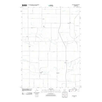
2010 Map of Concord
USGS Topo · Published 2010About this map
The Middle Fork Zumbro River and its various tributaries, including the North Branch Middle Fork Zumbro River and Milliken Creek, carve a winding path through this agricultural landscape. The map provides significant detail for genealogists, documenting numerous small burial grounds such as Saint Rose Cemetery, the Kelsey Family Cemetery, and Bern Cemetery. Small rural hubs like Roscoe, Berne, and Concord anchor the grid of local roads. Civil engineering features like the Walter Buehler Detention Dam on the Zumbro River highlight the modern management of these waterways. The persistence of the Roscoe Post Office and various family-named cemeteries suggests a landscape deeply connected to its nineteenth-century settlement roots, even as modern infrastructure like County Hwy-24 connects these communities to the broader region.
Find a feature on this map
37 named features on this map. Tap any name to fly to it.
Don’t see what you’re looking for? This feature index may not catch every label — zoom into the map to look around manually.
Map Details
Editions of this 2010 Concord Map
This is the sole edition of this map. No revisions or reprints were ever made.
Other maps of this area

1953 · Saint Paul
USGS Topo · 1:250,000

1959 · Saint Paul
USGS Topo · 1:250,000

1965 · Dodge Center
USGS Topo · 1:24,000

1965 · Concord
USGS Topo · 1:24,000

1965 · Claremont
USGS Topo · 1:24,000

1965 · West Concord
USGS Topo · 1:24,000

1965 · Byron
USGS Topo · 1:24,000

1965 · Pine Island
USGS Topo · 1:24,000

1968 · Zumbrota
USGS Topo · 1:24,000

1968 · Kenyon
USGS Topo · 1:24,000