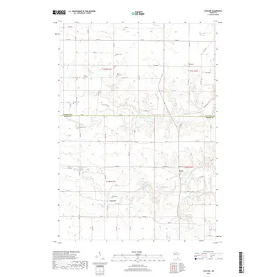
2019 Map of Concord
USGS Topo · Published 2019About this map
The Middle Fork Zumbro River and its northern branch define the rural landscape of this region, which straddles the boundary between Goodhue and Dodge counties. The settlement pattern is characterized by small, distinct communities including Concord, Roscoe, and Berne, linked by a grid of agricultural roads such as Co 54 Blvd and Co 11 Blvd. Of particular interest to family historians is the concentration of burial sites across the township, ranging from established community grounds like Concord Cem and Saint Rose Cem to the smaller Kelsey Family Cem. The drainage network, featuring Milliken Cr and Deulin Cr, illustrates the local topography that shaped the early development of these farming communities and their road systems.
Find a feature on this map
70 named features on this map. Tap any name to fly to it.
Don’t see what you’re looking for? This feature index may not catch every label — zoom into the map to look around manually.
Map Details
Editions of this 2019 Concord Map
This is the sole edition of this map. No revisions or reprints were ever made.
Other maps of this area

1953 · Saint Paul
USGS Topo · 1:250,000

1959 · Saint Paul
USGS Topo · 1:250,000

1965 · Dodge Center
USGS Topo · 1:24,000

1965 · Concord
USGS Topo · 1:24,000

1965 · Claremont
USGS Topo · 1:24,000

1965 · West Concord
USGS Topo · 1:24,000

1965 · Byron
USGS Topo · 1:24,000

1965 · Pine Island
USGS Topo · 1:24,000

1968 · Zumbrota
USGS Topo · 1:24,000

1968 · Kenyon
USGS Topo · 1:24,000