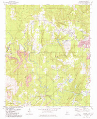
1979 Map of Concord
USGS Topo · Published 1980About this map
Industrial activity and community life intersect in this late 1970s landscape, where the heavy footprint of coal extraction sits alongside established rural settlements. The central Warrior River and its major tributary, Valley Creek, anchor a region defined by extensive mining operations, including the massive Concord Mine and various Strip Mine sites. These industrial areas are identifiable by prominent infrastructure like Air Shafts, a Coal Silo, and vast Tailings deposits.
Find a feature on this map
67 named features on this map. Tap any name to fly to it.
Don’t see what you’re looking for? This feature index may not catch every label — zoom into the map to look around manually.
Map Details
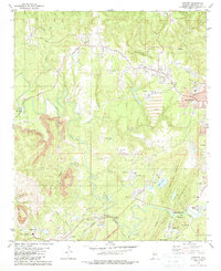
Editions of this 1979 Concord Map
2 editions found
Other maps of this area

1889 · Birmingham
USGS Topo · 1:125,000

1890 · Bessemer
USGS Topo · 1:125,000

1892 · Birmingham
USGS Topo · 1:125,000

1892 · Bessemer
USGS Topo · 1:125,000

1893 · Jasper
USGS Topo · 1:125,000

1895 · Birmingham
USGS Topo · 1:125,000

1899 · Brookwood
USGS Topo · 1:125,000

1904 · Birmingham Coal District
USGS Topo · 1:62,500

1905 · Bessemer Iron District
USGS Topo · 1:62,500

1906 · Birmingham Special
USGS Topo · 1:62,500