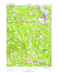
1949 Map of Concord
USGS Topo · Published 1963About this map
The Merrimack River and Contoocook River converge in this mid-century portrait of New Hampshire’s capital region. The landscape is defined by the industrial and institutional infrastructure of Concord, featuring the State Prison, the State Hospital, and the sprawling grounds of St Pauls School. Moving west and south, the map reveals a network of smaller rural communities like Hopkinton, Dunbarton, and Goffstown, where the terrain rises toward peaks such as Mt William and Odiorne Hill. The Boston and Maine RR serves as a vital corridor through the valleys, connecting the capital to outlying points like Bow Junction and Grasmere Junction. Local history is preserved through numerous rural schoolhouses, including the Stickney Hill School and Rockland School, alongside landmark sites such as the Quaker Church and Blossom Hill Cemetery.
Find a feature on this map
95 named features on this map. Tap any name to fly to it.
Don’t see what you’re looking for? This feature index may not catch every label — zoom into the map to look around manually.
Map Details
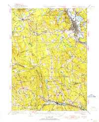
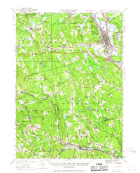
Editions of this 1949 Concord Map
4 editions found

Other maps of this area

1900 · Peterboro
USGS Topo · 1:62,500

1905 · Manchester
USGS Topo · 1:62,500

1906 · Milford
USGS Topo · 1:62,500

1919 · Gilmanton
USGS Topo · 1:62,500

1921 · Suncook
USGS Topo · 1:62,500

1926 · Hillsboro
USGS Topo · 1:62,500

1927 · Concord
USGS Topo · 1:62,500

1927 · Penacook
USGS Topo · 1:62,500

1927 · Gilmanton
USGS Topo · 1:62,500

1928 · Mount Kearsarge
USGS Topo · 1:62,500