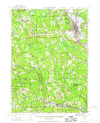
1949 Map of Concord
USGS Topo · Published 1967About this map
The Merrimack River corridor anchor this mid-century look at the state capital and its surrounding rural townships. The city of Concord is shown in detail, including civic institutions like the State Prison, State Hospital, and the sprawling Blossom Hill Cemetery. The landscape transitions from the urban center to the river-fed valleys of the Contoocook River and Piscataquog River, where small settlements like Contoocook and Goffstown maintain distinct identities.
Find a feature on this map
101 named features on this map. Tap any name to fly to it.
Don’t see what you’re looking for? This feature index may not catch every label — zoom into the map to look around manually.
Map Details
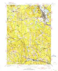
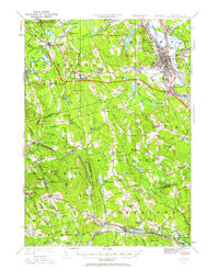
Editions of this 1949 Concord Map
4 editions found

Other maps of this area

1900 · Peterboro
USGS Topo · 1:62,500

1905 · Manchester
USGS Topo · 1:62,500

1906 · Milford
USGS Topo · 1:62,500

1919 · Gilmanton
USGS Topo · 1:62,500

1921 · Suncook
USGS Topo · 1:62,500

1926 · Hillsboro
USGS Topo · 1:62,500

1927 · Concord
USGS Topo · 1:62,500

1927 · Penacook
USGS Topo · 1:62,500

1927 · Gilmanton
USGS Topo · 1:62,500

1928 · Mount Kearsarge
USGS Topo · 1:62,500