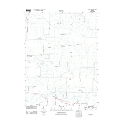
2012 Map of Concord
USGS Topo · Published 2012About this map
Concord and the surrounding farmland of Morgan County are defined by a network of creeks and prairie settlements in this early 21st-century survey. The landscape is notably dense with small family and community burial grounds, including Crum Cem, Mount Vernon Cem, and the Mount Zion Lutheran Cem. Particularly significant for local historians are the Morgan County Poor Farm Cem and Morgan County Farm Cem, which reflect the region's social history and 19th-century methods of providing for the indigent.
Find a feature on this map
73 named features on this map. Tap any name to fly to it.
Don’t see what you’re looking for? This feature index may not catch every label — zoom into the map to look around manually.
Map Details
Editions of this 2012 Concord Map
This is the sole edition of this map. No revisions or reprints were ever made.
Other maps of this area

1924 · Winchester
USGS Topo · 1:48,000

1926 · Winchester
USGS Topo · 1:62,500

1929 · Arenzville
USGS Topo · 1:62,500

1932 · Arenzville
USGS Topo · 1:62,500

1932 · Jacksonville
USGS Topo · 1:62,500

1932 · Virginia
USGS Topo · 1:62,500

1936 · Virginia
USGS Topo · 1:62,500

1937 · Jacksonville
USGS Topo · 1:62,500

1948 · Quincy
USGS Topo · 1:250,000

1956 · Quincy
USGS Topo · 1:250,000