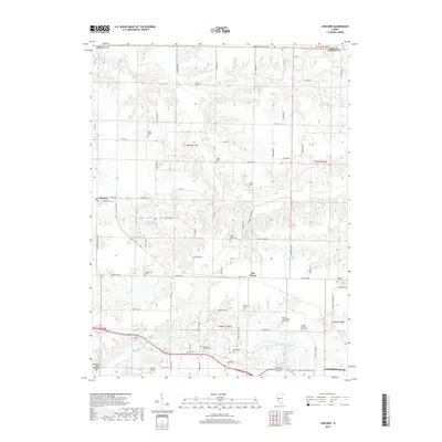
2018 Map of Concord
USGS Topo · Published 2018About this map
Mauvaise Terre Creek and its southern tributaries define the lower half of this landscape, carving through the agricultural terrain of Morgan County. The map provides significant genealogical value through its density of rural burial grounds, notably the Morgan County Poor Farm Cem and Morgan County Farm Cem, which point to the social history of the region's care for its residents. The settlement at Concord is a primary focal point, supported by local landmarks like Williams Airpark and the Concord Reservoir. The transition from the more developed southern periphery of Jacksonville to the open fields of Joy Prairie illustrates the enduring rural character of central Illinois. Numerous family-named roads and small cemeteries like Angel Cem and Crum Cem are scattered across the township lines, marking a legacy of local land ownership and small-scale community hubs.
Find a feature on this map
82 named features on this map. Tap any name to fly to it.
Don’t see what you’re looking for? This feature index may not catch every label — zoom into the map to look around manually.
Map Details
Editions of this 2018 Concord Map
This is the sole edition of this map. No revisions or reprints were ever made.
Other maps of this area

1924 · Winchester
USGS Topo · 1:48,000

1926 · Winchester
USGS Topo · 1:62,500

1929 · Arenzville
USGS Topo · 1:62,500

1932 · Arenzville
USGS Topo · 1:62,500

1932 · Jacksonville
USGS Topo · 1:62,500

1932 · Virginia
USGS Topo · 1:62,500

1936 · Virginia
USGS Topo · 1:62,500

1937 · Jacksonville
USGS Topo · 1:62,500

1948 · Quincy
USGS Topo · 1:250,000

1956 · Quincy
USGS Topo · 1:250,000