2024 Map of Concord
USGS Topo · Published 2024About this map
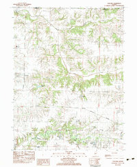
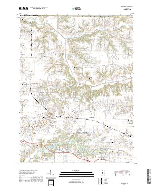
Concord and the surrounding Morgan County agricultural lands are defined by a complex network of creeks and numerous small burial grounds that speak to the area's deep settlement history. The landscape is carved by Indian Creek in the north and Mauvaise Terre Creek in the south, with the Concord Reservoir serving as a central hydrological feature. For genealogists, the map is remarkably dense with cemeteries, including the Morgan County Poor Farm Cem and Morgan County Farm Cem, which indicate the site of former county institutions. The northern border follows the Morgan Cass Co Line Rd, while the southern portion features the Williams Airpark. Smaller settlements like Joy Prairie and family-named landmarks like Roegge Lake and Applebee Pond illustrate the enduring rural character of this Illinois quadrangle.
Find a feature on this map
82 named features on this map. Tap any name to fly to it.
Don’t see what you’re looking for? This feature index may not catch every label — zoom into the map to look around manually.
Map Details
Editions of this 2024 Concord Map
This is the sole edition of this map. No revisions or reprints were ever made.