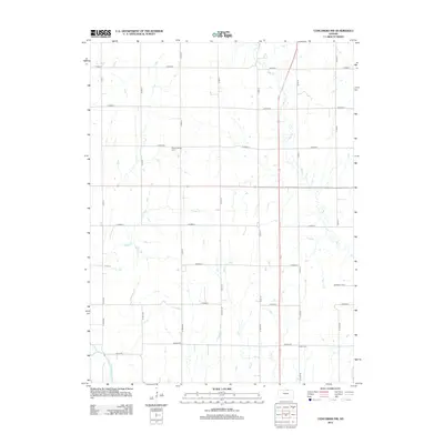
2012 Map of Concordia NW
USGS Topo · Published 2012About this map
Republican River winds through the southwestern corner of this Cloud County landscape, where the prairie transitions into a network of small stream valleys. The terrain is defined by the drainage systems of West Cr, Grave Cr, and Hay Cr, which carve through the agricultural tablelands. This survey illustrates a rural Kansas community organized by a rigid section-line road grid, yet anchored by long-standing landmarks such as Pleasant Ridge Cem and Saron Cem. The inclusion of Wagon Rd reflects the enduring importance of historical transit routes in connecting these upland farmsteads. Unlike more densely settled areas, this quadrangle highlights the relationship between the natural watercourses and the persistent rural infrastructure of the early 21st century.
Find a feature on this map
31 named features on this map. Tap any name to fly to it.
Don’t see what you’re looking for? This feature index may not catch every label — zoom into the map to look around manually.
Map Details
Editions of this 2012 Concordia NW Map
This is the sole edition of this map. No revisions or reprints were ever made.
Other maps of this area

1892 · Concordia
USGS Topo · 1:125,000

1955 · Manhattan
USGS Topo · 1:250,000

1956 · Manhattan
USGS Topo · 1:250,000

1957 · Manhattan
USGS Topo · 1:250,000

1965 · Wayne
USGS Topo · 1:24,000

1965 · Concordia NW
USGS Topo · 1:24,000
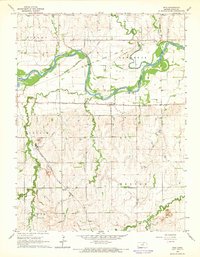
1965 · Rice
USGS Topo · 1:24,000
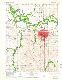
1965 · Concordia
USGS Topo · 1:24,000

1965 · Kackley
USGS Topo · 1:24,000

1966 · Scandia
USGS Topo · 1:24,000