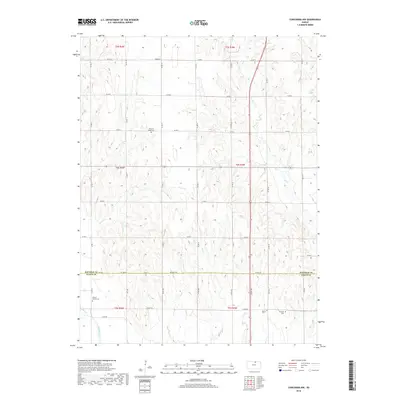
2018 Map of Concordia NW
USGS Topo · Published 2018About this map
Agricultural lands along the Republic Co Cloud Co line define this portion of north-central Kansas. The landscape is structured by a grid of rural roads, including Co Line Rd and Republic Rd, which service the scattered farmsteads and family burial grounds of the region. Local history and genealogy are anchored by several small cemeteries, such as the Dutton Family Cem and Pleasant Ridge Cem, which appear as quiet landmarks among the fields. The hydrology is dominated by the Republican River in the southwest, while numerous drainages like Grave Cr and Hay Cr carve through the terrain. This survey illustrates the enduring patterns of rural settlement and the preservation of historic family sites within the expansive prairie landscape.
Find a feature on this map
28 named features on this map. Tap any name to fly to it.
Don’t see what you’re looking for? This feature index may not catch every label — zoom into the map to look around manually.
Map Details
Editions of this 2018 Concordia NW Map
This is the sole edition of this map. No revisions or reprints were ever made.
Other maps of this area

1892 · Concordia
USGS Topo · 1:125,000

1955 · Manhattan
USGS Topo · 1:250,000

1956 · Manhattan
USGS Topo · 1:250,000

1957 · Manhattan
USGS Topo · 1:250,000

1965 · Wayne
USGS Topo · 1:24,000

1965 · Concordia NW
USGS Topo · 1:24,000
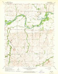
1965 · Rice
USGS Topo · 1:24,000
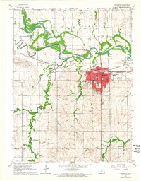
1965 · Concordia
USGS Topo · 1:24,000

1965 · Kackley
USGS Topo · 1:24,000

1966 · Scandia
USGS Topo · 1:24,000