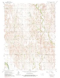
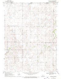
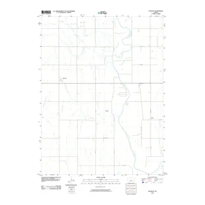
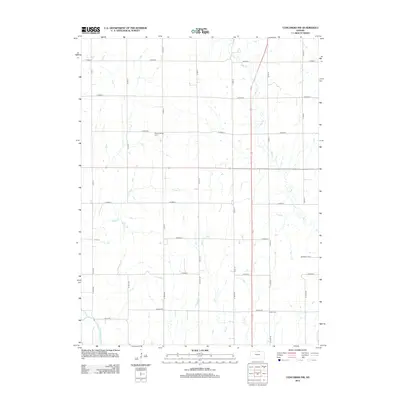
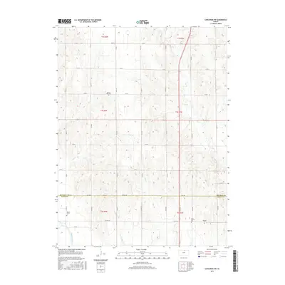
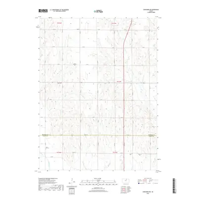
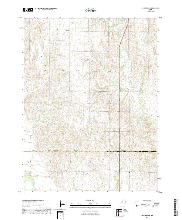
1965 Map of Concordia NW
USGS Topo · Published 1983About this map
The Republican River winds through the southwest corner of this north-central Kansas landscape, defining the transition from the fertile river bottoms of Buffalo township to the upland drainages of Scandia and Belleville. Surveyed in the mid-1960s, the map reveals a meticulously organized section-line road network supporting an agricultural economy centered around townships like Norway and Lincoln.
Find a feature on this map
20 named features on this map. Tap any name to fly to it.
Don’t see what you’re looking for? This feature index may not catch every label — zoom into the map to look around manually.
Map Details
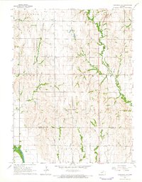
Editions of this 1965 Concordia NW Map
2 editions found
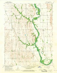
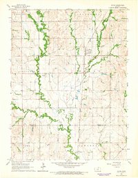
Historical Maps of Cloud County Through Time
30 maps found
1965 Concordia NW
Republic County, KS
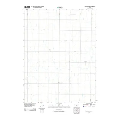
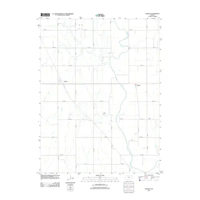
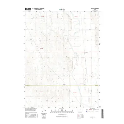
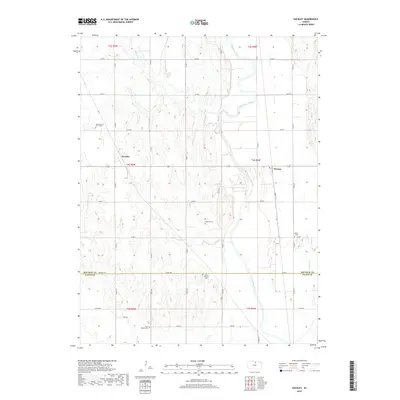
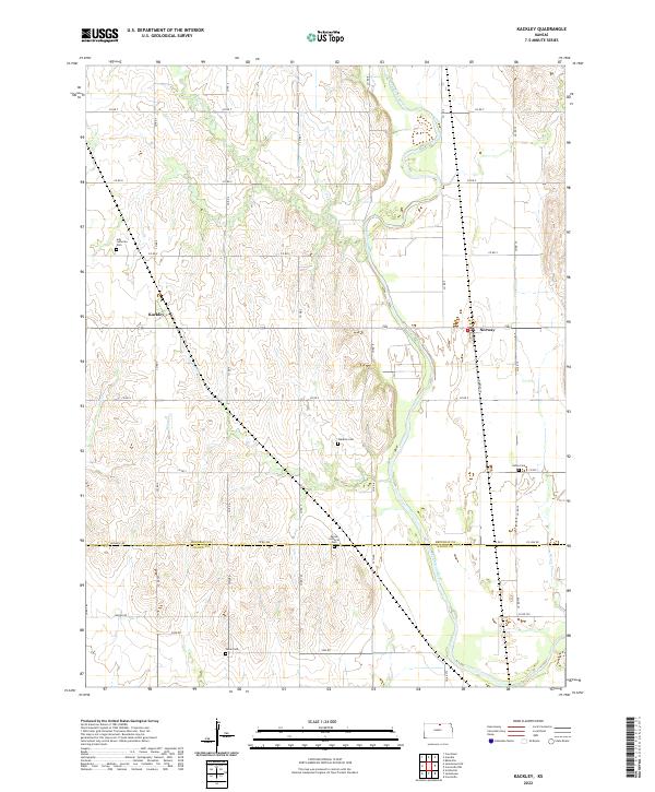
1965 Kackley
Republic County, KS
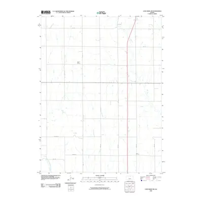
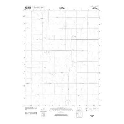
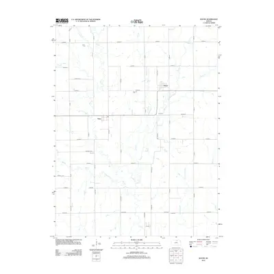
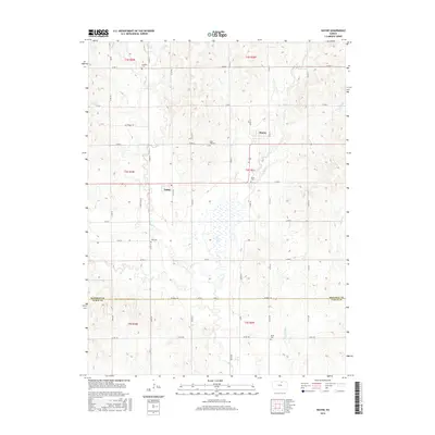
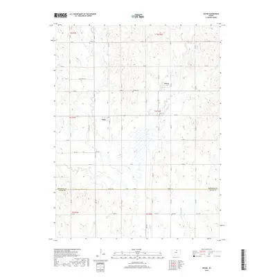
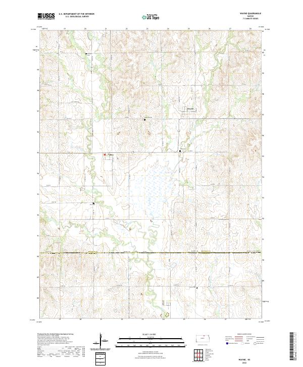
1965 Wayne
Republic County, KS

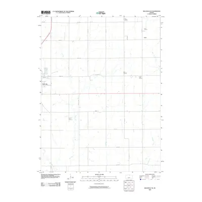
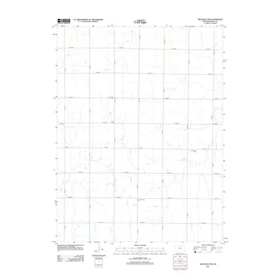
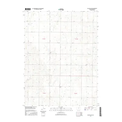
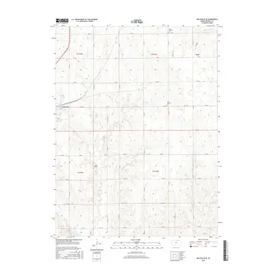
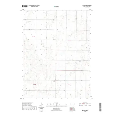
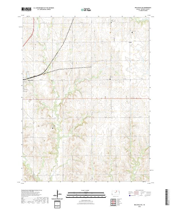
1966 Belleville SE
Republic County, KS
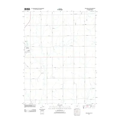
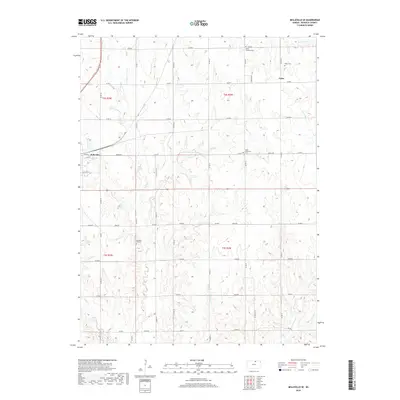
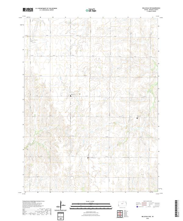
1968 Belleville NW
Republic County, KS
2009 Belleville NW
Republic County, KS
2009 Belleville SE
Republic County, KS
2009 Concordia NW
Republic County, KS
2009 Kackley
Republic County, KS
2009 Wayne
Republic County, KS
2012 Belleville NW
Republic County, KS
2012 Belleville SE
Republic County, KS
2012 Concordia NW
Republic County, KS
2012 Kackley
Republic County, KS
2012 Wayne
Republic County, KS
2015 Belleville NW
Republic County, KS
2015 Belleville SE
Republic County, KS
2015 Concordia NW
Republic County, KS
2015 Kackley
Republic County, KS
2015 Wayne
Republic County, KS
2018 Belleville NW
Republic County, KS
2018 Belleville SE
Republic County, KS
2018 Concordia NW
Republic County, KS
2018 Kackley
Republic County, KS
2018 Wayne
Republic County, KS
2022 Belleville NW
Republic County, KS
2022 Belleville SE
Republic County, KS
2022 Concordia NW
Republic County, KS
2022 Kackley
Republic County, KS
2022 Wayne
Republic County, KS