
1955 Map of Condrey Mtn
USGS Topo · Published 1957About this map
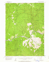
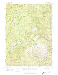
Klamath River flows through this mid-century survey of the Siskiyou mountains, marking a landscape defined by isolated settlement and mineral extraction. The small community of Horse Creek and the Klamath River PO serve as local hubs near the Klamath River School, while the surrounding timbered slopes are dotted with high-elevation lookout points like Dry Lake Lookout and Collins Creek Baldy Lookout. The map reveals a significant mining history, particularly in the southern reaches where the K C Mine, Golden Age Mine, and Commodore Mine are situated among the steep drainages of McKinney Creek. Transport across this difficult terrain relied on a network of trails and the Walker Bridge, while the presence of the Oak Knoll Ranger Sta highlights the active management of the Rogue River National Forest. Remote outposts such as Whites Cabin and Miller Glade underscore the area's history of ranching and early mountain homesteading.
Find a feature on this map
132 named features on this map. Tap any name to fly to it.
Don’t see what you’re looking for? This feature index may not catch every label — zoom into the map to look around manually.
Map Details
Editions of this 1955 Condrey Mtn Map
3 editions found
Other maps of this area

1886 · Shasta
USGS Topo · 1:250,000

1891 · Ashland
USGS Topo · 1:250,000

1893 · Ashland
USGS Topo · 1:250,000

1894 · Shasta
USGS Topo · 1:250,000

1897 · Ashland
USGS Topo · 1:250,000

1908 · Grants Pass
USGS Topo · 1:125,000

1914 · Seiad
USGS Topo · 1:125,000

1922 · Seiad
USGS Topo · 1:125,000

1932 · Yreka
USGS Topo · 1:96,000

1938 · Medford
USGS Topo · 1:125,000