
1922 Map of Conejos
USGS Topo · Published 1922About this map
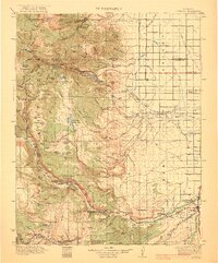
Rio Grande National Forest dominates the western half of this 1922 survey, giving way to the irrigated agricultural expanses of the Luis Valley to the east. The landscape transitions from the peaks of the San Juan Mountains, including Silver Mtn and Cornwall Mtn, down to the valley floor where a sophisticated network of water infrastructure such as the Highline Canal, Citizens Ditch, and Empire Canal supported early ranching and farming.
Find a feature on this map
128 named features on this map. Tap any name to fly to it.
Don’t see what you’re looking for? This feature index may not catch every label — zoom into the map to look around manually.
Map Details
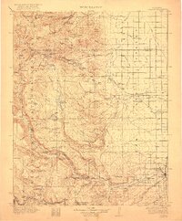
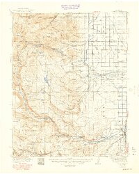
Editions of this 1922 Conejos Map
4 editions found
Other maps of this area

1913 · Summitville
USGS Topo · 1:125,000

1914 · Creede
USGS Topo · 1:125,000

1915 · Summitville
USGS Topo · 1:125,000

1915 · Del Norte
USGS Topo · 1:125,000

1916 · Creede
USGS Topo · 1:125,000

1917 · Del Norte
USGS Topo · 1:125,000

1918 · Tusas
USGS Topo · 1:125,000

1945 · Durango
USGS Topo · 1:250,000

1953 · Durango
USGS Topo · 1:250,000

1954 · Durango
USGS Topo · 1:250,000