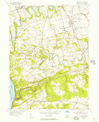
1955 Map of Conestoga
USGS Topo · Published 1956About this map
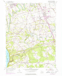
Millersville and its surrounding townships define this mid-1950s landscape, characterized by the winding courses of the Conestoga Creek and Pequea Creek as they flow toward the Susquehanna River. The area is a dense network of small villages and agricultural settlements, including Wabank, Slackwater, and New Danville, interspersed with numerous community landmarks such as River Corner Ch and the Byerland Ch. The presence of State Teachers College in the northwest corner highlights the early institutional footprint of the region.
Find a feature on this map
63 named features on this map. Tap any name to fly to it.
Don’t see what you’re looking for? This feature index may not catch every label — zoom into the map to look around manually.
Map Details
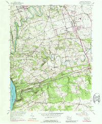
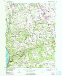
Editions of this 1955 Conestoga Map
7 editions found
Other maps of this area

1902 · Lancaster
USGS Topo · 1:62,500

1904 · Lancaster
USGS Topo · 1:62,500

1906 · New Holland
USGS Topo · 1:62,500

1908 · New Holland
USGS Topo · 1:62,500

1912 · Quarryville
USGS Topo · 1:62,500

1912 · Mc Calls Ferry
USGS Topo · 1:62,500

1941 · New Holland
USGS Topo · 1:62,500

1943 · Lancaster
USGS Topo · 1:62,500

1943 · Quarryville
USGS Topo · 1:62,500

1943 · Mc Calls Ferry
USGS Topo · 1:62,500
Featured Places
- West Lampeter Township, PA
- Willow Street, West Lampeter Township
- Millersville, PA
- Pequea, Conestoga Township
- Conestoga Township, PA