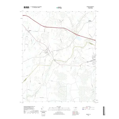
2019 Map of Conetoe
USGS Topo · Published 2019About this map
Conetoe and Bethel anchor this landscape along the border of Edgecombe and Pitt counties, where human drainage efforts have fundamentally reshaped the coastal plain. The map documents an intricate network of engineered waterways, including Mitchell Swamp Canal, Ballyhack Canal, and Thomas Canal, which cut through the low-lying terrain to manage the flow toward Conetoe Cr and Grindle Cr. These canals signify a long history of agricultural reclamation in eastern North Carolina, transforming swampy bottoms into productive land.
Find a feature on this map
68 named features on this map. Tap any name to fly to it.
Don’t see what you’re looking for? This feature index may not catch every label — zoom into the map to look around manually.
Map Details
Editions of this 2019 Conetoe Map
This is the sole edition of this map. No revisions or reprints were ever made.
Other maps of this area

1901 · Parmele
USGS Topo · 1:62,500

1902 · Parmele
USGS Topo · 1:62,500

1902 · Tarboro
USGS Topo · 1:62,500

1903 · Tarboro
USGS Topo · 1:62,500

1903 · Winterville
USGS Topo · 1:62,500

1904 · Falkland
USGS Topo · 1:62,500

1905 · Winterville
USGS Topo · 1:62,500

1953 · Rocky Mount
USGS Topo · 1:250,000

1954 · Rocky Mount
USGS Topo · 1:250,000

1980 · Falkland
USGS Topo · 1:24,000