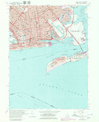
1966 Map of Coney Island
USGS Topo · Published 1979About this map
The Brooklyn shoreline and the expanding Rockaway peninsula define this late 1960s coastal landscape, capturing a moment of transition for iconic waterfront neighborhoods. Dense residential blocks in New Utrecht, Bensonhurst, and Gravesend give way to the recreational and maritime corridors of Coney Island and Brighton Beach. The map details significant public works and institutional growth, including the sprawling campus of Kingsborough Community College at the tip of Manhattan Beach and the heavy infrastructure of the Rapid Transit Yards.
Find a feature on this map
70 named features on this map. Tap any name to fly to it.
Don’t see what you’re looking for? This feature index may not catch every label — zoom into the map to look around manually.
Map Details
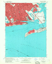
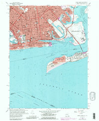
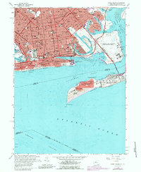
Editions of this 1966 Coney Island Map
4 editions found
Other maps of this area

1888 · Sandy Hook
USGS Topo · 1:62,500

1889 · Brooklyn
USGS Topo · 1:62,500

1891 · Brooklyn
USGS Topo · 1:62,500

1893 · Sandy Hook
USGS Topo · 1:62,500

1897 · Brooklyn
USGS Topo · 1:62,500

1898 · Staten Island
USGS Topo · 1:62,500

1898 · Brooklyn
USGS Topo · 1:62,500

1900 · Passaic
USGS Topo · 1:125,000

1900 · Staten Island
USGS Topo · 1:62,500

1900 · Brooklyn
USGS Topo · 1:62,500