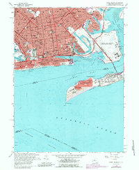
1966 Map of Coney Island
USGS Topo · Published 1988About this map
Coney Island and the southern shoreline of Brooklyn are captured in the late 1960s, showing a densely urbanized landscape meeting the Atlantic Ocean. The map documents the intricate neighborhood grid of Bensonhurst, Gravesend, and Sheepshead Bay, interspersed with significant religious and educational institutions like St Brendans Sch and Lafayette High Sch. A distinct maritime and military character is evident along the coast, where the U S Naval Air Station Floyd Bennett Field occupies Barren Island and the U S Military Reservation Fort Tilden guards the approach to Rockaway Inlet. The leisure culture of the era is represented by the Amphitheater and Steeplechase Pier, while the transit infrastructure of the Rapid Transit Yards highlights the area's connectivity to the broader city. This survey provides a precise look at the New York coastline before the significant late-20th-century shifts in waterfront usage.
Find a feature on this map
67 named features on this map. Tap any name to fly to it.
Don’t see what you’re looking for? This feature index may not catch every label — zoom into the map to look around manually.
Map Details
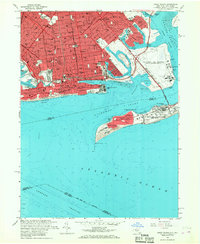
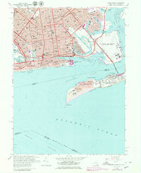
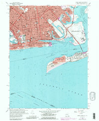
Editions of this 1966 Coney Island Map
4 editions found
Other maps of this area

1888 · Sandy Hook
USGS Topo · 1:62,500

1889 · Brooklyn
USGS Topo · 1:62,500

1891 · Brooklyn
USGS Topo · 1:62,500

1893 · Sandy Hook
USGS Topo · 1:62,500

1897 · Brooklyn
USGS Topo · 1:62,500

1898 · Staten Island
USGS Topo · 1:62,500

1898 · Brooklyn
USGS Topo · 1:62,500

1900 · Passaic
USGS Topo · 1:125,000

1900 · Staten Island
USGS Topo · 1:62,500

1900 · Brooklyn
USGS Topo · 1:62,500