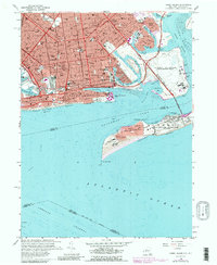
1966 Map of Coney Island
USGS Topo · Published 1988About this map
Brooklyn’s southern edge, from Bensonhurst to Bergen Beach, is defined here by its intricate shoreline and post-war urban density. The map illustrates a landscape of established neighborhoods like Gravesend and New Utrecht transitioning into the massive maritime and military footprints of the era. The vast runways of the U S Naval Air Station Floyd Bennett Field dominate the eastern marshes near Jamaica Bay, while to the south, U S Military Reservation Fort Tilden stands guard over Rockaway Point. Along the Atlantic coast, the recreational infrastructure of Coney Island is fully realized, featuring the Aquarium, the long Boardwalk, and Manhattan Beach Park. Inland, the map captures the community's social fabric through its numerous parochial schools, such as St Brendans Sch and Good Shepherd Sch, alongside significant public works like the Sewage Disposal plant and Coney Island Hospital.
Find a feature on this map
73 named features on this map. Tap any name to fly to it.
Don’t see what you’re looking for? This feature index may not catch every label — zoom into the map to look around manually.
Map Details
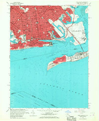
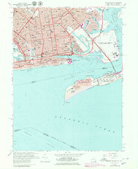
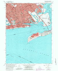
Editions of this 1966 Coney Island Map
4 editions found
Other maps of this area

1888 · Sandy Hook
USGS Topo · 1:62,500

1889 · Brooklyn
USGS Topo · 1:62,500

1891 · Brooklyn
USGS Topo · 1:62,500

1893 · Sandy Hook
USGS Topo · 1:62,500

1897 · Brooklyn
USGS Topo · 1:62,500

1898 · Staten Island
USGS Topo · 1:62,500

1898 · Brooklyn
USGS Topo · 1:62,500

1900 · Passaic
USGS Topo · 1:125,000

1900 · Staten Island
USGS Topo · 1:62,500

1900 · Brooklyn
USGS Topo · 1:62,500