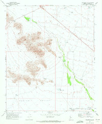
1969 Map of Congress SW
USGS Topo · Published 1972About this map
Aguila Valley and the surrounding desert landscape dominate this late-1960s survey, defined by a critical network of water management features and transportation routes. The arid terrain is dotted with named reservoirs such as Mexican Joe Tank, Gibson Tank, and Big Pemberton Tank, which provided essential water sources for cattle in this ranching country. The lower reaches of the map show the industrial footprint of the Atchison Topeka and Santa Fe railroad, where a stockyard and the stop at Divide indicate the area's role in the regional livestock trade.
Find a feature on this map
18 named features on this map. Tap any name to fly to it.
Don’t see what you’re looking for? This feature index may not catch every label — zoom into the map to look around manually.
Map Details
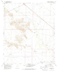
Editions of this 1969 Congress SW Map
2 editions found
Other maps of this area

1887 · Prescott
USGS Topo · 1:250,000

1892 · Prescott
USGS Topo · 1:250,000

1903 · Congress
USGS Topo · 1:125,000

1904 · Congress
USGS Topo · 1:125,000

1923 · Signal
USGS Topo · 1:250,000

1942 · Signal
USGS Topo · 1:250,000

1942 · Vicksburg
USGS Topo · 1:250,000

1950 · Prescott
USGS Topo · 1:250,000

1954 · Prescott
USGS Topo · 1:250,000

1954 · Phoenix
USGS Topo · 1:250,000