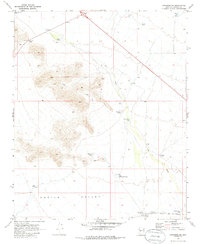
1969 Map of Congress SW
USGS Topo · Published 1985About this map
Aguila Valley dominates the southern reaches of this landscape, where the flat desert floor meets the rising foothills of the desert ranges. The 1960s cattle industry is evident through a network of water catchments including Mexican Joe Tank, Brahma Tank, and Stockyard Tank, which supported livestock across the arid terrain. In the south, the Atchison Topeka and Santa Fe railroad cuts a straight path through the valley, passing the point labeled Divide as it mirrors the wash systems. Primitive access into the higher elevations is marked by a Jeep Trail winding through the north-central peaks. The drainage of Sols Wash defines the eastern corridor, acting as a natural conduit for seasonal runoff and a focal point for water management features like Knight Tank and Sols Wash Tank.
Find a feature on this map
26 named features on this map. Tap any name to fly to it.
Don’t see what you’re looking for? This feature index may not catch every label — zoom into the map to look around manually.
Map Details
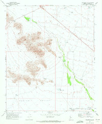
Editions of this 1969 Congress SW Map
2 editions found
Other maps of this area

1887 · Prescott
USGS Topo · 1:250,000

1892 · Prescott
USGS Topo · 1:250,000

1903 · Congress
USGS Topo · 1:125,000

1904 · Congress
USGS Topo · 1:125,000

1923 · Signal
USGS Topo · 1:250,000

1942 · Signal
USGS Topo · 1:250,000

1942 · Vicksburg
USGS Topo · 1:250,000

1950 · Prescott
USGS Topo · 1:250,000

1954 · Prescott
USGS Topo · 1:250,000

1954 · Phoenix
USGS Topo · 1:250,000