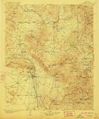
1904 Map of Congress
USGS Topo · Published 1923About this map
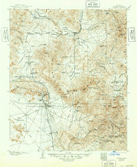
Mining operations and remote ranching outposts define this high-desert landscape in the Yavapai backcountry during the early twentieth century. The Santa Fe Prescott and Phoenix railroad provides the primary artery through the region, connecting the settlement at Congress Junction and the adjacent Martinez to broader markets. The local economy is visibly anchored by intensive mineral extraction, particularly at the Congress Mine and Senate Mine near the base of the Date Creek Mountains, while the Weaver Mountains are dotted with active camps like Stanton and Octave.
Find a feature on this map
122 named features on this map. Tap any name to fly to it.
Don’t see what you’re looking for? This feature index may not catch every label — zoom into the map to look around manually.
Map Details
Editions of this 1904 Congress Map
3 editions found
Other maps of this area

1887 · Prescott
USGS Topo · 1:250,000

1892 · Prescott
USGS Topo · 1:250,000

1903 · Bradshaw Mountains
USGS Topo · 1:125,000

1903 · Congress
USGS Topo · 1:125,000

1904 · Congress
USGS Topo · 1:125,000

1905 · Jerome
USGS Topo · 1:125,000

1923 · Signal
USGS Topo · 1:250,000

1942 · Signal
USGS Topo · 1:250,000

1942 · Vicksburg
USGS Topo · 1:250,000

1945 · Bagdad
USGS Topo · 1:62,500