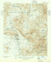
1904 Map of Congress
USGS Topo · Published 1948About this map
Mining operations and remote ranching outposts define this high-desert landscape in Yavapai County during the first years of the twentieth century. The Weaver Mountains and Date Creek Mountains dominate the center of the sheet, providing the geologic backdrop for a surge in industrial gold mining. The famous Congress Mine sits at the southern foot of these peaks, supported by the S. F. P. & P. Ry. which connects Congress Junction to the wider world.
Find a feature on this map
122 named features on this map. Tap any name to fly to it.
Don’t see what you’re looking for? This feature index may not catch every label — zoom into the map to look around manually.
Map Details
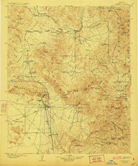
Editions of this 1904 Congress Map
3 editions found
Other maps of this area

1887 · Prescott
USGS Topo · 1:250,000

1892 · Prescott
USGS Topo · 1:250,000

1903 · Bradshaw Mountains
USGS Topo · 1:125,000

1903 · Congress
USGS Topo · 1:125,000

1904 · Congress
USGS Topo · 1:125,000

1905 · Jerome
USGS Topo · 1:125,000

1923 · Signal
USGS Topo · 1:250,000

1942 · Signal
USGS Topo · 1:250,000

1942 · Vicksburg
USGS Topo · 1:250,000

1945 · Bagdad
USGS Topo · 1:62,500