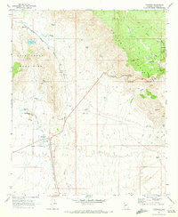
1969 Map of Congress
USGS Topo · Published 1973About this map
The Congress Mine anchors the western foothills of the Weaver Mountains in this late 1960s survey, illustrating the deep connection between mining and settlement in Yavapai County. The area is defined by sharp elevation shifts where the Date Creek Mountains meet the desert floor, a landscape traversed by the Atchison Topeka and Santa Fe railroad. Historic transit routes like the Yarnell Grade and Ghost Town Road connect the mining hubs of Congress and Piedmont with high-country retreats like Glen Ilah and Yarnell.
Find a feature on this map
35 named features on this map. Tap any name to fly to it.
Don’t see what you’re looking for? This feature index may not catch every label — zoom into the map to look around manually.
Map Details
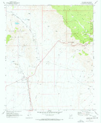
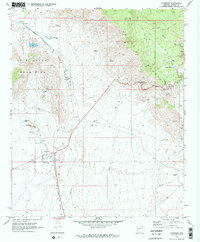
Editions of this 1969 Congress Map
3 editions found
Other maps of this area

1887 · Prescott
USGS Topo · 1:250,000

1892 · Prescott
USGS Topo · 1:250,000

1903 · Congress
USGS Topo · 1:125,000

1904 · Congress
USGS Topo · 1:125,000

1947 · Kirkland
USGS Topo · 1:62,500

1947 · Wagoner
USGS Topo · 1:62,500

1948 · Kirkland
USGS Topo · 1:63,360

1948 · Wagoner
USGS Topo · 1:63,360

1950 · Wagoner
USGS Topo · 1:62,500
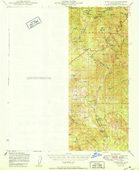
1950 · Kirkland
USGS Topo · 1:62,500