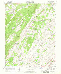
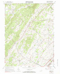
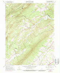
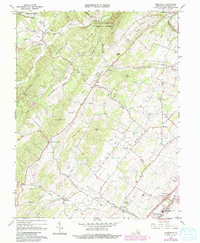
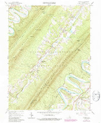
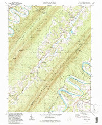
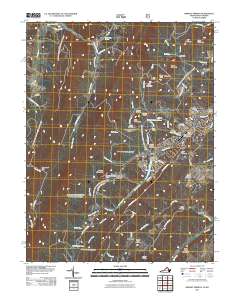
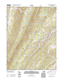
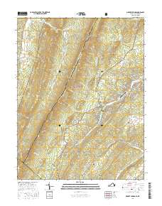
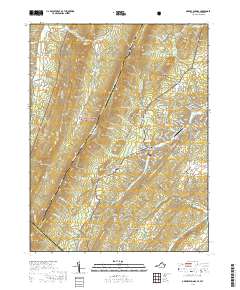
1966 Map of Conicville
USGS Topo · Published 1968About this map
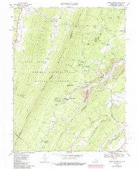
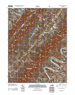
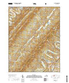
Columbia Furnace and the surrounding Shenandoah Valley landscape appear here in a period of transition, where mid-century infrastructure meets deep-rooted local history. The Old Iron Furnace near Columbia Furnace stands as a remnant of the region's early industrial heritage, while the presence of the Southern railroad line and the new Interchange 69 near Mt Jackson signals the arrival of modern transit networks. The terrain is defined by prominent ridges like Cabin Ridge and Jones Ridge, with numerous small family-named watersheds such as Mikes Run and Mumaw Run carving through the valleys.
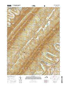
Find a feature on this map
47 named features on this map. Tap any name to fly to it.
Don’t see what you’re looking for? This feature index may not catch every label — zoom into the map to look around manually.
Map Details
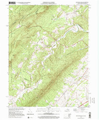
Editions of this 1966 Conicville Map
3 editions found
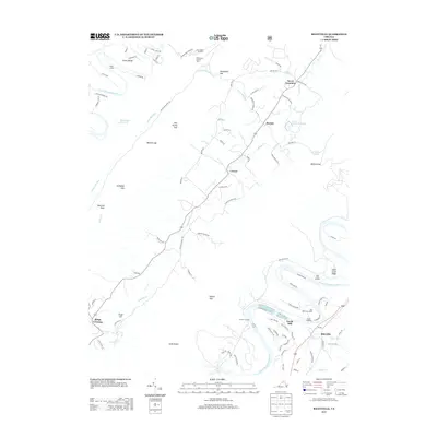
Historical Maps of Mount Jackson Through Time
28 maps found
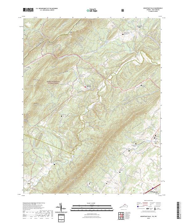
1965 Mountain Falls
Shenandoah County, VA
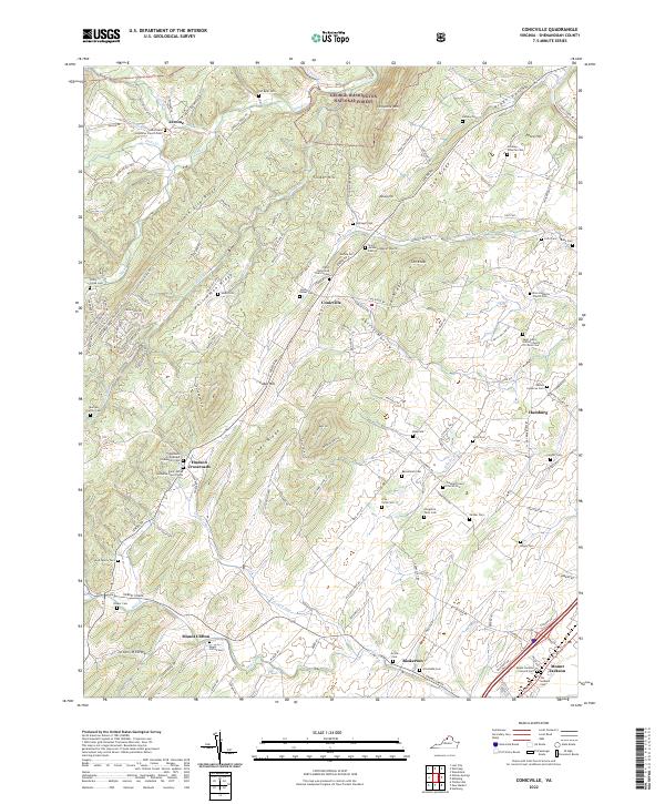
1966 Conicville
Shenandoah County, VA
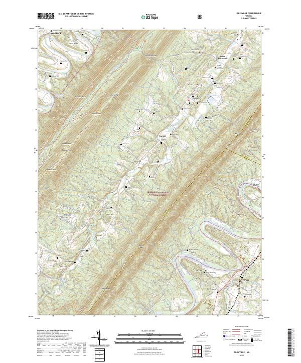
1966 Rileyville
Shenandoah County, VA
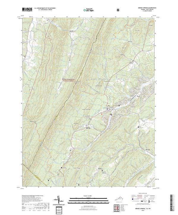
1967 Orkney Springs
Shenandoah County, VA
1994 Conicville
Shenandoah County, VA
1994 Orkney Springs
Shenandoah County, VA
1994 Rileyville
Shenandoah County, VA
1999 Mountain Falls
Shenandoah County, VA
2011 Conicville
Shenandoah County, VA
2011 Mountain Falls
Shenandoah County, VA
2011 Orkney Springs
Shenandoah County, VA
2011 Rileyville
Shenandoah County, VA
2013 Conicville
Shenandoah County, VA
2013 Mountain Falls
Shenandoah County, VA
2013 Orkney Springs
Shenandoah County, VA
2013 Rileyville
Shenandoah County, VA
2016 Conicville
Shenandoah County, VA
2016 Mountain Falls
Shenandoah County, VA
2016 Orkney Springs
Shenandoah County, VA
2016 Rileyville
Shenandoah County, VA
2019 Conicville
Shenandoah County, VA
2019 Mountain Falls
Shenandoah County, VA
2019 Orkney Springs
Shenandoah County, VA
2019 Rileyville
Shenandoah County, VA
2022 Conicville
Shenandoah County, VA
2022 Mountain Falls
Shenandoah County, VA
2022 Orkney Springs
Shenandoah County, VA
2022 Rileyville
Shenandoah County, VA